Geissflue, Limestone mountain peak in Basel-Landschaft, Switzerland
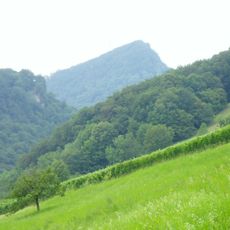
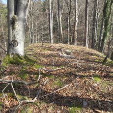
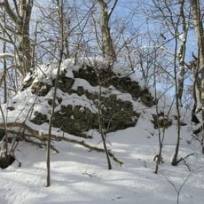
Geissflue is a limestone mountain in the eastern Jura range, sitting on the boundary between the cantons of Basel-Landschaft and Solothurn in Switzerland. The summit rises above the surrounding hill country and can be reached from several directions along marked trails.
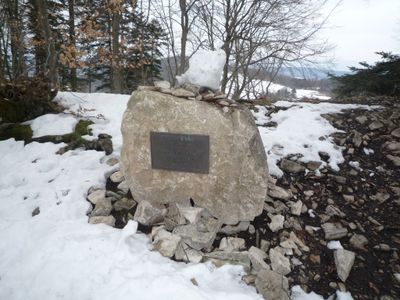
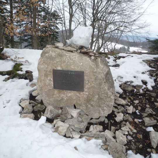
The summit lies exactly on the cantonal border of Basel-Landschaft and Solothurn, while the adjoining Geissfluegrat ridge to the northeast, at 908 m, forms the highest point of the canton of Aargau. A boundary stone stands on the Geissflue, marking the line that separates the two cantons at 963 m.
The summit carries a boundary stone marking the cantonal line between Basel-Landschaft and Solothurn, a detail hikers can spot at the top. The neighbouring Geissfluegrat, on the northeast ridge, reaches 908 m and is the highest point of the canton of Aargau, so walkers on the ridge pass from one canton's high point to another.
The summit can be reached from several villages in both cantons via marked hiking paths, so it helps to choose a starting point before setting out. Trail conditions change with the seasons, and snow or mud can make some routes harder in colder months.
On the eastern flank of the mountain, the boundaries of three cantons meet at a single point, which is rare in Switzerland. This three-canton junction is marked on maps and reachable along the hiking routes near the summit.
The community of curious travelers
AroundUs brings together thousands of curated places, local tips, and hidden gems, enriched daily by 92,654 contributors worldwide.