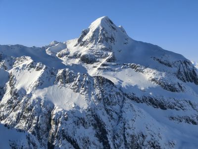
Piz Platta, Mountain summit in Graubünden, Switzerland
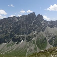
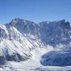
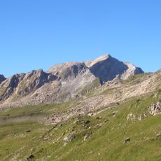
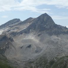
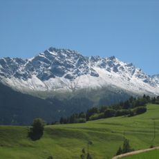
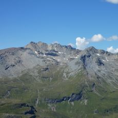
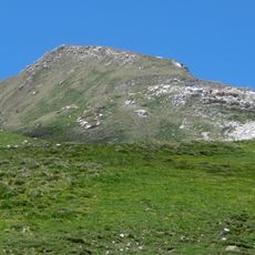
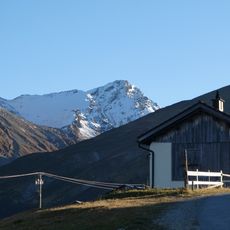
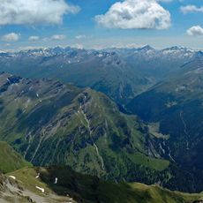
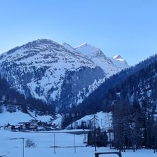
Piz Platta is a 3,392 meter (11,128 foot) peak in the Oberhalbstein Alps, standing between the Avers and Julia valleys with a shape that makes it recognizable from many viewpoints. The mountain's exposed ridges and steep faces create a dramatic profile across the high Alpine landscape.
The first recorded ascent occurred in 1866 when Arnold Baltzer and S. Hartmann reached the summit. Since then, the peak has attracted climbers seeking to explore this section of the Graubunden Alps.
The mountain forms a visual landmark between the Avers and Julia valleys, recognizable from settlements below as a distinctive peak that shapes how local people navigate and orient themselves in the high Alps.
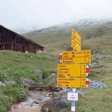
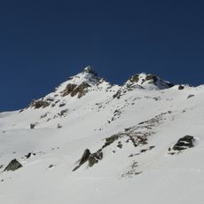
Climbing this summit requires mountain experience and proper equipment for snow, ice, and exposed ridges at high altitude. The ascent takes several hours from the nearest village, and starting early helps maximize daylight during the climb.
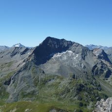
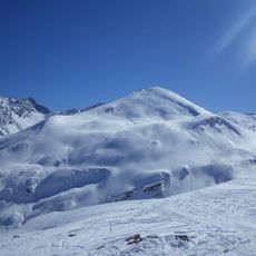
The Vadret da Piz Platta glacier on the southern face is one of the last ice masses in this Alpine region and continues to shrink over time. Climbers who reach the summit can observe this glacier directly and witness how the landscape is changing.
The community of curious travelers
AroundUs brings together thousands of curated places, local tips, and hidden gems, enriched daily by 60,000 contributors worldwide.