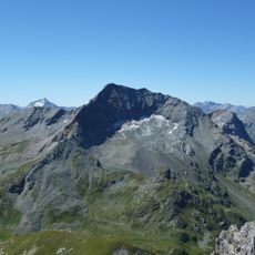
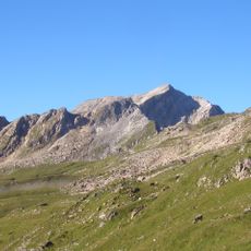
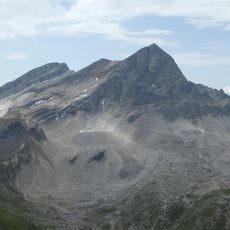
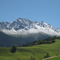
Piz Arblatsch, Alpine summit in Grisons, Switzerland
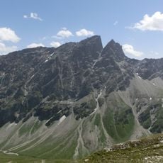
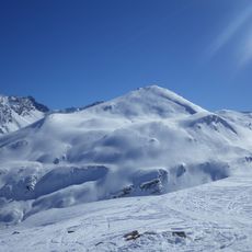
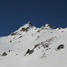
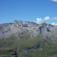
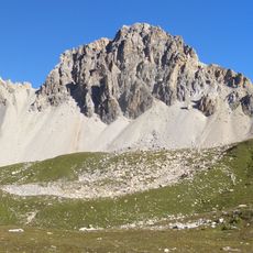
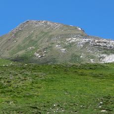
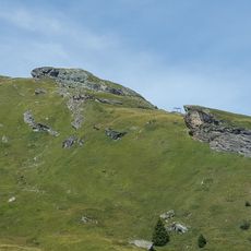
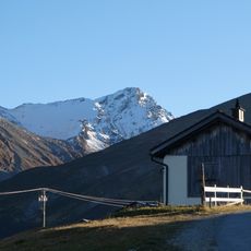
Piz Arblatsch is a 3203 m summit in the Forbesch-Arblatsch massif of the Oberhalbstein Alps, west of Mulegns. It is framed by the Val Faller to the south, the Val da Livizung to the northeast and the Val Curtegns to the west. The summit is surrounded by several rock heads of nearly equal height, and the south couloir is the line most used by climbers.
The summit marked the meeting point of the municipal boundaries of Riom-Parsonz, Mulegns and Savognin; today the whole mountain lies in the municipality of Surses. Its name probably derives from the Latin albuluceus, from albus, white. It forms the counterpart to Piz Forbesch (3261.8 m) in the Forbesch-Arblatsch massif of the Oberhalbstein Alps.
The name Piz Arblatsch probably comes from the Latin albuluceus, derived from albus, white. The summit once marked the meeting point of the municipal boundaries of Riom-Parsonz, Mulegns and Savognin; today the whole mountain lies in the municipality of Surses. The valleys around it, Val Faller, Val da Livizung and Val Curtegns, are all side valleys of the Oberhalbstein.
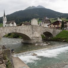
The mountain is accessible by public transport from Chur with a train to Thusis, then a post bus to the village of Mulegns. From there, climbers and hikers have access to multiple routes depending on their ability and the season.
From the summit, the farthest visible point is Rocca Pan Perdù in Piedmont, Italy, 316 km away to the south-southwest, just left of Piz Forbesch. The view also reaches the Bernese and Valais Alps, including the 147.64 km distant Grenzgipfel.
The community of curious travelers
AroundUs brings together thousands of curated places, local tips, and hidden gems, enriched daily by 93,996 contributors worldwide.