Stierenberg, Mountain summit in Aargau, Switzerland.
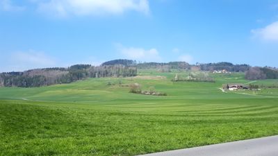
Stierenberg is a forested summit in northern Switzerland, sitting on the border between the cantons of Aargau and Lucerne. It rises above the surrounding valleys of the Suhre and the Aabach, with dense woodland covering its slopes on all sides.
When Swiss cantonal borders were drawn in the early 19th century, this summit became a fixed point on the boundary between Aargau and Lucerne. That administrative role gave the mountain a lasting presence in the local geography that goes beyond its natural features.
The name Stierenberg refers to bulls, pointing to old farming traditions in the area where cattle once grazed on the slopes. Today, walkers from both sides of the cantonal border share the same forest paths up to the top.
The summit can be reached by marked trails starting from several points in the surrounding valleys, with options for different fitness levels. The paths run through forest the whole way, so sturdy footwear is a good idea, especially after rain.
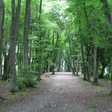
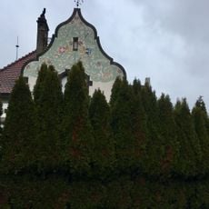
Despite being a named summit, the top of this mountain has no open viewpoint and is completely surrounded by trees. Visitors who make the climb reach a wooded high point rather than a panoramic reward, which makes the walk more about the forest than the destination.
The community of curious travelers
AroundUs brings together thousands of curated places, local tips, and hidden gems, enriched daily by 60,000 contributors worldwide.