Enable Location

We need your location to show you interesting places around you

Discover nearby places

Find interesting locations and hidden gems around you

Precise directions

Get accurate directions and distances to places

Your location is never shared with other users. It's only used when you tap the location button.

Zetel

Log in to your account

Start exploring — it's free

Trusted by 64,850 travelers worldwide

Continue with Google
Continue with Apple
or

We will send you a code to connect

By continuing, you accept our Terms and Conditions and our Privacy Policy

Check your inbox

We've sent a pincode in your inbox. Please enter the code below.

Discussion Reviews 1 Photos
17k Popularity

Zetel, municipality of Germany

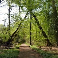
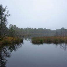
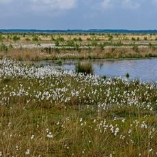
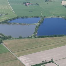
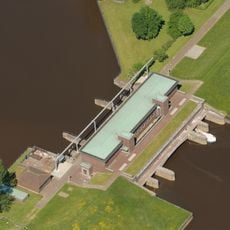
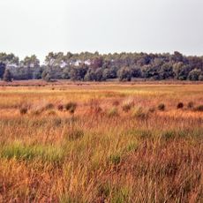
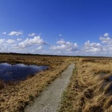
Zetel is a small municipality in the Friesland region of Germany. The flat terrain covers about 81 square kilometers with open fields, small woods, and sits only about 2 meters above sea level.

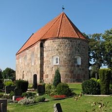
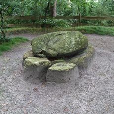
The earliest findings in the area date to the Stone Age, and by 250 AD farmers from the Germanic Chauken people settled here. The current town was formed in 1972 when two smaller communities merged, though written records mention the name back to 1423.

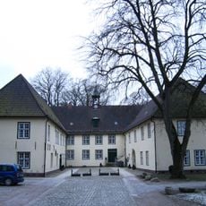
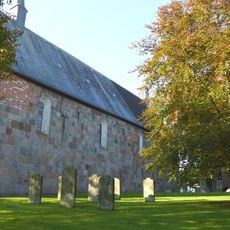
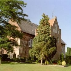
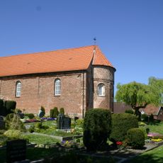
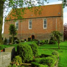
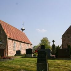
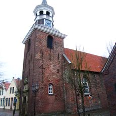
The name Zetel appears in written records from 1423, when it was called 'Sethle'. The village developed as a linear settlement with houses along a main road, centered around St. Martin's Church, which remains a gathering place for the community today.

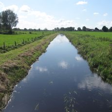
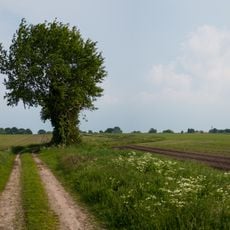
The best way to explore is on foot or by bicycle, especially along paths through fields and forests. The flat terrain and network of side roads make it easy to navigate the village and surrounding areas.

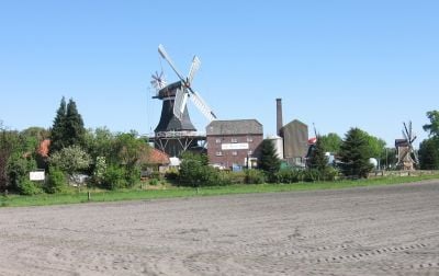
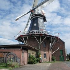
The village retains two functioning old windmills, with the Rutteler Mill still grinding grain today. The area is also twinned with Scotland's Sutherland county, fostering cultural exchanges between the two regions.

The community of curious travelers

AroundUs brings together thousands of curated places, local tips, and hidden gems, enriched daily by 60,000 contributors worldwide.

Start exploring
Location
Elevation above the sea
10 m
Shares border with
Sande, Bockhorn, Westerstede, Friedeburg, Uplengen
GPS coordinates
53.41972,7.97417
Latest update
February 17, 2026 01:20
Reviews
Share your experience

No review yet

Discussions
Start a discussion...

No discussion yet

« Zetel - municipality of Germany » is provided by Around Us (aroundus.com). Images and texts are derived from Wikimedia project under a Creative Commons license. You are allowed to copy, distribute, and modify copies of this page, under the conditions set by the license, as long as this note is clearly visible.

Discover hidden gems everywhere you go!

From secret cafés to breathtaking viewpoints, skip the crowded tourist spots and find places that match your style. Our app makes it easy with voice search, smart filtering, route optimization, and insider tips from travelers worldwide. Download now for the complete mobile experience.

Around Us App Screenshot

A unique approach to discovering new places

Le Figaro

All the places worth exploring

France Info

A tailor-made excursion in just a few clicks

20 Minutes

Around Us
Travel Guide & Maps
Download

Send to your phone

QR Code
1

Open the camera app on your mobile.

2

Point at the QR code with your camera. A notification will appear.

3

Tap the notification to open the link.