
Langenberg, municipality of Germany
Location: Gütersloh
Elevation above the sea: 88 m
Shares border with: Rheda-Wiedenbrück, Oelde, Wadersloh, Lippstadt, Rietberg
Website: https://langenberg.de
GPS coordinates: 51.78306,8.31667
Latest update: March 10, 2025 13:18
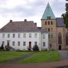
Liesborn Abbey
8.8 km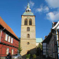
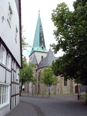
St. Aegidius, Wiedenbrück
5.8 km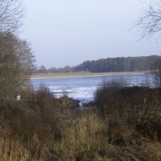
Emssee
6 km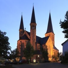
St. Margareta
7.1 km
Franziskanerkloster Wiedenbrück
5.9 km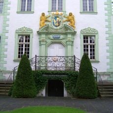
Museum Abtei Liesborn
8.8 km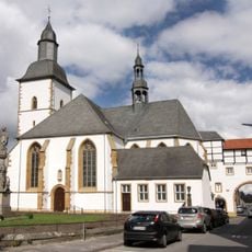
Église Sainte-Marie de Wiedenbrück
5.9 km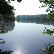
Margaretensee
9.7 km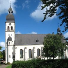
St Vitus
5.4 km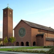
Saint Pius X church
5 km
Künstlerhaus Wiedenbrück
5.7 km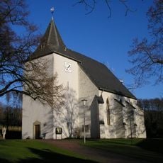
St. Lambertus
7.4 km
St. Josef, Waldliesborn
8 km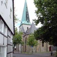
St. Lambertus und St. Laurentius
876 m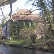
Haus Thüle
9 km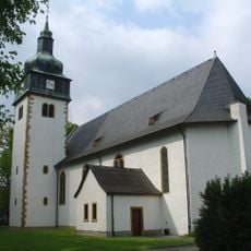
St. Jakobus
5.9 km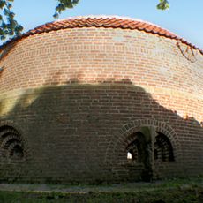
Pulverturm, Wiedenbrück
5.6 km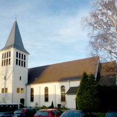
Kreuzkirche
5.6 km
Zachariassee
9.2 km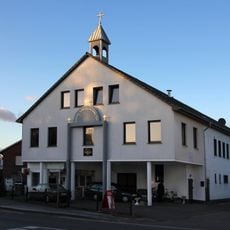
St. Johannes
5.7 km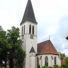
St. Antonius Benteler
3.9 km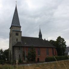
Herz Jesu
2.8 km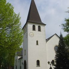
St. Anna
4.8 km
Gnadenkirche
6.2 km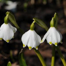
Märzenbecherwald
8.4 km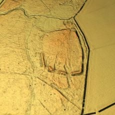
Hünenburg
8.3 km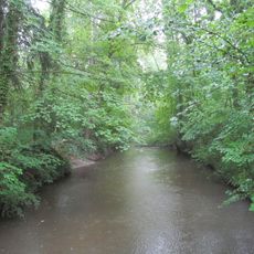
LSG-Cappel/Bad Waldliesborn
9.4 km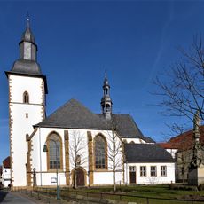
St Mary and Ursula
5.9 kmReviews
Visited this place? Tap the stars to rate it and share your experience / photos with the community! Try now! You can cancel it anytime.
Discover hidden gems everywhere you go!
From secret cafés to breathtaking viewpoints, skip the crowded tourist spots and find places that match your style. Our app makes it easy with voice search, smart filtering, route optimization, and insider tips from travelers worldwide. Download now for the complete mobile experience.

A unique approach to discovering new places❞
— Le Figaro
All the places worth exploring❞
— France Info
A tailor-made excursion in just a few clicks❞
— 20 Minutes