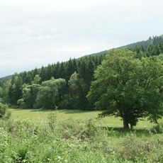
Ziegenhelle, Mountain summit in Rothaargebirge, North Rhine-Westphalia, Germany.
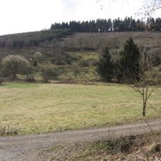
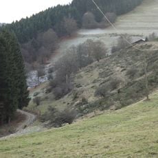
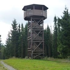
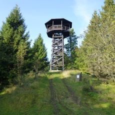
Ziegenhelle is an 816.1 m high mountain in the Rothaargebirge, near Züschen in the Hochsauerlandkreis. Its massif extends up to 12 km east-northeast and 7 km south-southeast, forming the natural region Ziegenhelle. About 25 m west of the summit stands the 14.7 m wooden Ziegenhellenturm, with a covered octagonal platform at 11.6 m.
Surveyors established a trigonometric point at the summit in 1887, marked with a boundary stone for geographical calculations. This point was part of a larger mapping project used to chart the region.
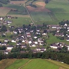
The Mythen- und Sagenweg is a 26 km circular trail that starts in Züschen and crosses the Ziegenhelle summit. The Sauerland-Höhenflug long-distance path also uses the mountain on its 7th stage from Altastenberg to Hallenberg. The Ziegenhelle-Uphill, a mountain-bike climb from Züschen to the summit, is a local test of endurance.
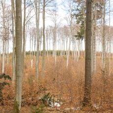
The summit is accessible via forest roads and hiking paths, with the nearest parking available at the Snow World Züschen ski resort. The climb can be approached from multiple sides, and regular signage helps with navigation.
The 2011 tower replaced a 15-metre wooden predecessor demolished in autumn 2010 after it was declared unsafe. The new tower, about 14.7 metres tall, was funded by the local heritage association, the EU and the town of Winterberg, and was inaugurated on 30 July 2011.
The community of curious travelers
AroundUs brings together thousands of curated places, local tips, and hidden gems, enriched daily by 93,803 contributors worldwide.