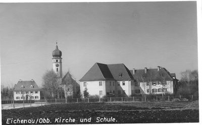
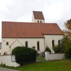
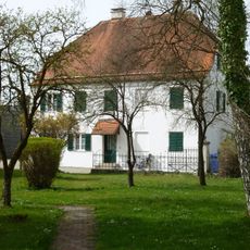
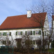
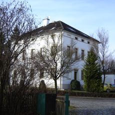
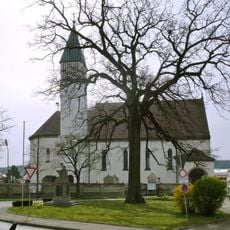
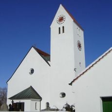
Eichenau, Municipality in Fürstenfeldbruck district, Bavaria, Germany.
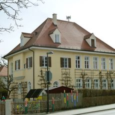
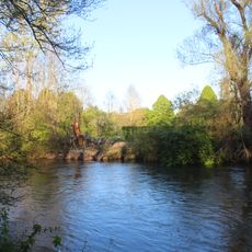
Eichenau is a municipality in Fürstenfeldbruck district in Bavaria, located approximately 20 kilometers west of Munich. The settlement spreads across about 7 square kilometers and sits at an elevation of around 522 meters above sea level.
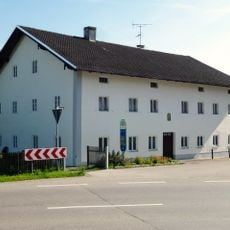
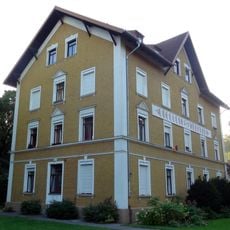
The municipality received its name in 1907 when it separated from Alling, primarily due to the establishment of a railway station on the Munich-Lindau line. This event marked its transition from a small settlement into an independent administrative entity.
The municipality fosters international bonds through sister city partnerships with Budrio in Italy established in 1990 and Vyshhorod in Ukraine established in 1994. These connections bring exchange programs and joint events that strengthen community ties across borders.
Visitors will find two elementary schools, a middle school, and a sports center with beach volleyball and tennis facilities in the municipality. The good transport connection via the Munich-Lindau railway line makes it easy to explore the region or reach Munich.
The municipality experienced significant growth as it transformed over recent decades into a residential area for Munich workers. Today it is home to a population that commutes daily by rail to the nearby metropolis.
The community of curious travelers
AroundUs brings together thousands of curated places, local tips, and hidden gems, enriched daily by 60,000 contributors worldwide.