Alfter, Municipality in Rhein-Sieg District, Germany
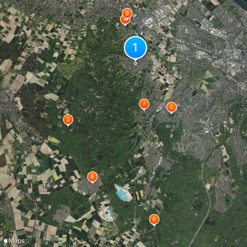
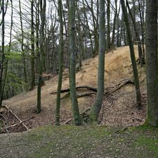
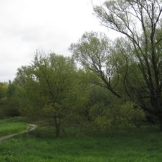
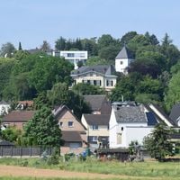
Alfter is a municipality in the Rhein-Sieg District with five distinct districts spread across farmland and forest areas. The territory features a gently rolling landscape with a good mix of rural structures and local centers.
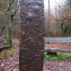
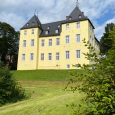
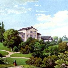
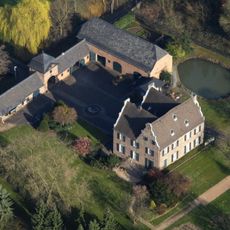
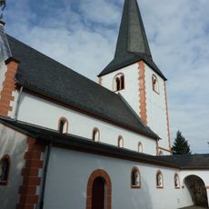
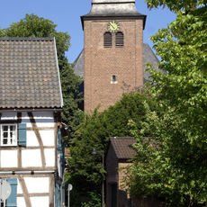
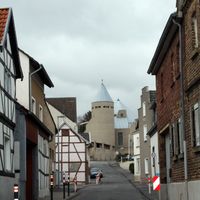
The municipality developed over centuries as part of the region and maintained its character as a rural community. Several of the current districts originated from historic settlements with roots reaching back to medieval times.
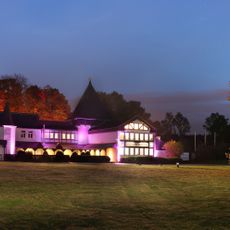
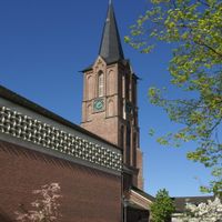
Each district in this municipality maintains its own local customs and hosts regular community events throughout the year. These gatherings shape social life in the villages and reflect the strong bonds among residents.
The municipality is best explored by car or bicycle, as the districts are connected by rural roads and paths. Visitors will find small centers with local shops and services scattered across the individual village cores.
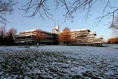
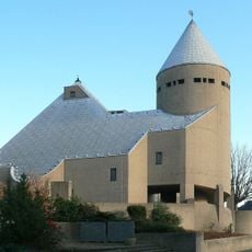
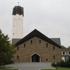
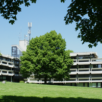
The Culture and Sports Hall stands out for its distinctive wooden architecture and shows the commitment to creating contemporary public buildings. The structure demonstrates how modern design can fit naturally into rural surroundings.
Location: Rhein-Sieg District
Elevation above the sea: 76 m
Shares border with: Bornheim, Bonn, Meckenheim, Rheinbach, Swisttal
Website: https://alfter.de
GPS coordinates: 50.73556,7.00917
Latest update: December 20, 2025 15:38
Eiserner Mann
4.6 km
Schloss Alfter
370 m
Haus Wittgenstein
2 km
Burg Medinghoven
3.1 km
Kottenforst train station
8.2 km
St. Mariä Heimsuchung
2.4 km
St. Katharina
6.4 km
Wolfsburg
2.3 km
Herrenhaus Buchholz
1.3 km
St. Laurentius
2.7 km
Alte Burg
1.1 km
St. Matthäus
348 m
Siebenschuss
5.2 km
Tongrube Witterschlick
5.8 km
Hertersplatz 13
273 m
Pfarrkirche St. Jakobus
1.3 km
St. Evergislus
3.3 km
An der Roisdorfer Hufebahn
1.9 km
Friedensweg Alfter-Roisdorf
1 km
St. Mariä Himmelfahrt (Oedekoven)
1.9 km
Abschnittsbefestigung Witterschlick
4.5 km
Jewish cemetery, Alfter
897 m
St. Lambertus (Witterschlick)
5 kmDürrenbruch
4 km
Evangelische Versöhnungskirche Buschhoven
6.4 kmApfelmaar
2.8 km
Wasserturm (Gielsdorf)
1.5 km
Quarzsandgrube
2.4 kmVisited this place? Tap the stars to rate it and share your experience / photos with the community! Try now! You can cancel it anytime.
Discover hidden gems everywhere you go!
From secret cafés to breathtaking viewpoints, skip the crowded tourist spots and find places that match your style. Our app makes it easy with voice search, smart filtering, route optimization, and insider tips from travelers worldwide. Download now for the complete mobile experience.
A unique approach to discovering new places❞
— Le Figaro
All the places worth exploring❞
— France Info
A tailor-made excursion in just a few clicks❞
— 20 Minutes