
Kleinrinderfeld, municipality of Germany
Location: Würzburg
Elevation above the sea: 331 m
Shares border with: Kist, Geroldshausen
Website: http://kleinrinderfeld.de
GPS coordinates: 49.70000,9.85000
Latest update: March 4, 2025 07:39
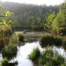
Blutsee-Moor
3 km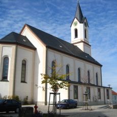
Pfarrkirche
4.8 km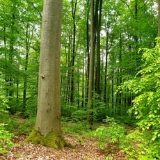
Naturwald Irtenberger Wald
5 km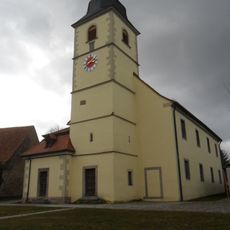
Pfarrkirche
4.1 km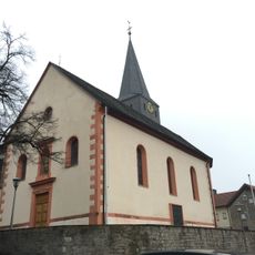
St. Johannes der Täufer
4.8 km
St. Vitus
4.3 km
Maria Königin des Friedens
4.6 km
Beund
4.3 km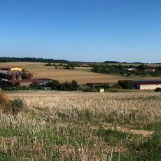
Altertheimer Weg
5.1 km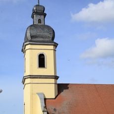
Saalkirche
358 m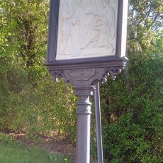
Kreuzweg
4.6 km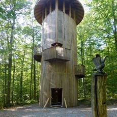
Eichenturm
4.7 km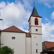
Kirche
3.7 km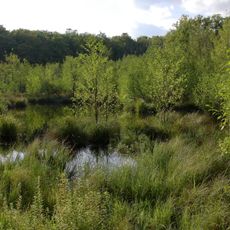
Irtenberger und Guttenberger Wald
3.5 km
Kriegerdenkmal
4.8 km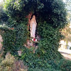
Mariengrotte Schönfeld
4.3 km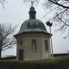
Kriegerdenkmal
4.6 km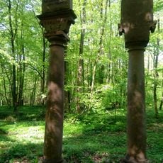
Zwei Hoheitssäulen
3.9 km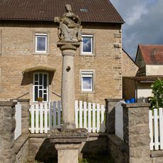
Bildstock
3.6 km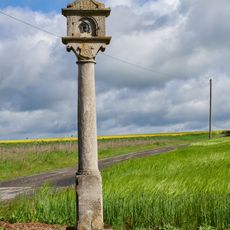
Bildstock
3.5 km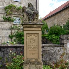
Pietà
3.7 km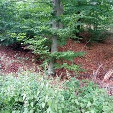
Keltenschanze Schönfeld
3 km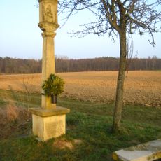
Bildstock
4.5 km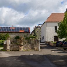
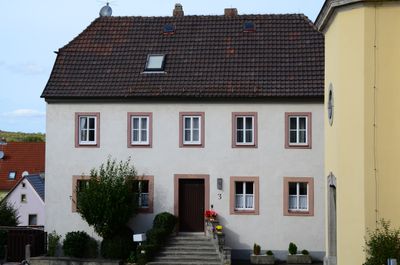
Bauernhaus
3.6 km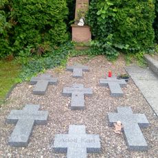
Kriegerdenkmal
4.7 km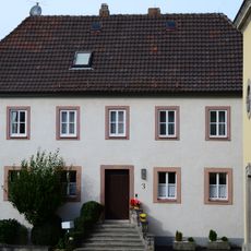
Pfarrhaus
383 m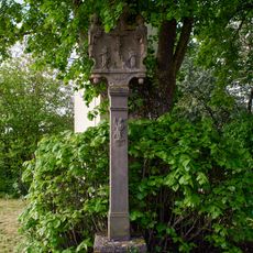
Bildstock
3.7 km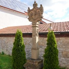
Bildstock
3.5 kmReviews
Visited this place? Tap the stars to rate it and share your experience / photos with the community! Try now! You can cancel it anytime.
Discover hidden gems everywhere you go!
From secret cafés to breathtaking viewpoints, skip the crowded tourist spots and find places that match your style. Our app makes it easy with voice search, smart filtering, route optimization, and insider tips from travelers worldwide. Download now for the complete mobile experience.

A unique approach to discovering new places❞
— Le Figaro
All the places worth exploring❞
— France Info
A tailor-made excursion in just a few clicks❞
— 20 Minutes