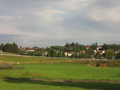
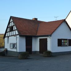
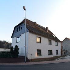
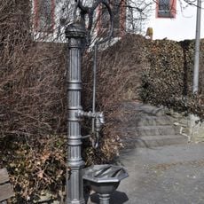
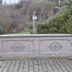
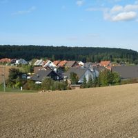
Hünstetten, Rheingau-Taunus municipality in Germany
Location: Rheingau-Taunus-Kreis
Inception: 1971
Elevation above the sea: 360 m
Shares border with: Taunusstein, Hohenstein, Aarbergen, Idstein
Website: https://huenstetten.de
GPS coordinates: 50.24944,8.19528
Latest update: March 3, 2025 01:13
Castra of Zugmantel
6.6 km
St. Nikolaus von Flüe, Wörsdorf
3.9 km
Hühnerkirche
652 m
Burg Wallrabenstein
3.6 km
Burg Holdersberg
4.2 km
Ringwallanlage Nack
3.4 km
Schloss Weilbach
3.6 km
Evangelische Kirche Wallbach
270 m
Evangelische Kirche
5.1 km
Türmchen
5.8 km
Evangelische Kirche Görsroth
2.9 km
Evangelische Kirche Bechtheim
2.8 km
Zur heiligen Dreifaltigkeit
2.9 km
Kirche Beuerbach
3.6 km
Kirche Ketternschwalbach
3.5 km
Protestant Church
1.5 km
Peterskirche
3.4 km
Protestant Church
4.9 km
Alte Schule
3.5 km
Backhaus
6.4 km
Brunnen
4.3 km
Cast iron fountain in Oberlibbach
4.8 km
Alte Schule Oberlibbach
4.9 km
Hauptstraße 16
4.9 km
Quellenstraße 5
1.5 km
Hauptstraße 6
1.5 km
Brunnen
5.1 km
Brunnen
5.1 kmReviews
Visited this place? Tap the stars to rate it and share your experience / photos with the community! Try now! You can cancel it anytime.
Discover hidden gems everywhere you go!
From secret cafés to breathtaking viewpoints, skip the crowded tourist spots and find places that match your style. Our app makes it easy with voice search, smart filtering, route optimization, and insider tips from travelers worldwide. Download now for the complete mobile experience.
A unique approach to discovering new places❞
— Le Figaro
All the places worth exploring❞
— France Info
A tailor-made excursion in just a few clicks❞
— 20 Minutes