
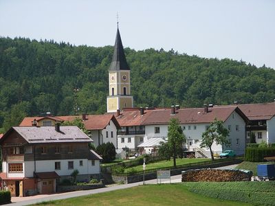
Thurmansbang, municipality of Germany
Location: Freyung-Grafenau
Elevation above the sea: 494 m
Part of: Verwaltungsgemeinschaft Thurmansbang
Shares border with: Saldenburg, Schönberg, Innernzell, Zenting, Außernzell, Eging am See, Fürstenstein, Tittling
Website: http://thurmansbang.de
GPS coordinates: 48.76667,13.31667
Latest update: March 7, 2025 05:24
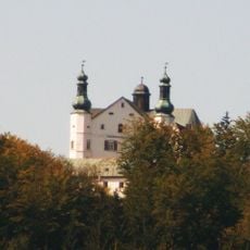
Englburg
4.4 km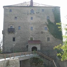
Burg Saldenburg
2.9 km
Wackelstein von Loh
3.4 km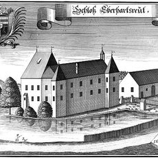
Schloss Eberhardsreuth
6.3 km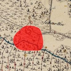
Burg Scharten
4.4 km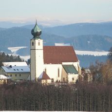
St. Brigida
4.8 km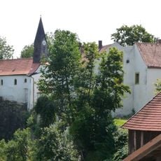
Katholische Pfarrkirche St. Pankraz
3.5 km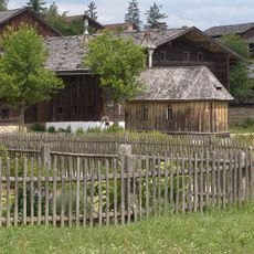
Nothelferkapelle
3.9 km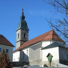
Katholische Pfarrkirche St. Jakobus
5.1 km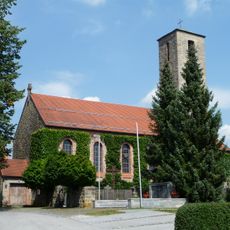
Katholische Filialkirche St. Hartmann
4 km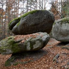
Schutz von Landschaftsteilen in den Gemeinden Saldenburg und Thurmannsbang (LSG Lohberg)
2.9 km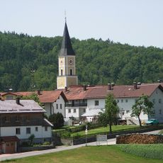
Katholische Pfarrkirche St. Markus
144 m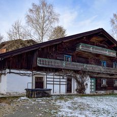
Langrainergütl
3.8 km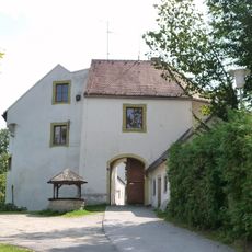
Schloss Ranfels
3.5 km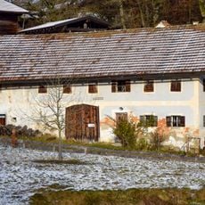
''Holler-Lini-Haus''
3.8 km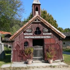
Napoleonkapelle
3.9 km
Ehemaliges Forst- bzw. Kramerhaus
3.8 km
Rothaumühlhof
3.8 km
Napoleonhäusl
3.7 km
Ehemaliges Inhaus
3.9 km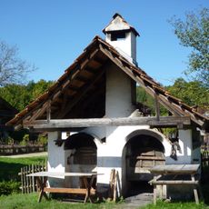
Doppelbackofen
3.8 km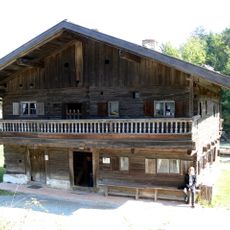
Schul- und Marktschreiberhaus
3.8 km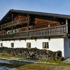
Geigerhof
3.9 km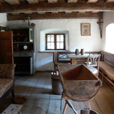
Zaigerhof
3.9 km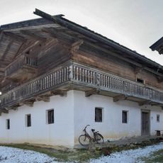
''Knabenbauer-Hof''
3.8 km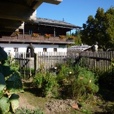
Einfirsthof aus Neßlbach
3.7 km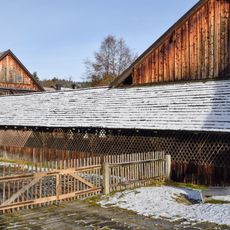
Dorfkegelbahn
3.7 km
Oberer Keller
4.6 kmVisited this place? Tap the stars to rate it and share your experience / photos with the community! Try now! You can cancel it anytime.
Discover hidden gems everywhere you go!
From secret cafés to breathtaking viewpoints, skip the crowded tourist spots and find places that match your style. Our app makes it easy with voice search, smart filtering, route optimization, and insider tips from travelers worldwide. Download now for the complete mobile experience.

A unique approach to discovering new places❞
— Le Figaro
All the places worth exploring❞
— France Info
A tailor-made excursion in just a few clicks❞
— 20 Minutes