
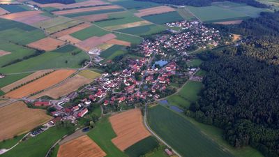
Buch am Wald, municipality of Germany
Location: Ansbach
Elevation above the sea: 465 m
Part of: Verwaltungsgemeinschaft Schillingsfürst
Website: http://buchamwald.de
GPS coordinates: 49.33020,10.33484
Latest update: March 3, 2025 17:57

Schloss Schillingsfürst
6.8 km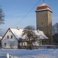
Brunnenhausmuseum
6.3 km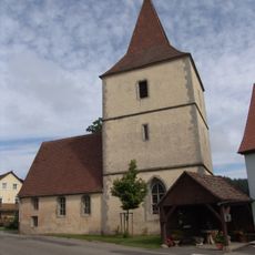
Zu unserer lieben Frau
1.7 km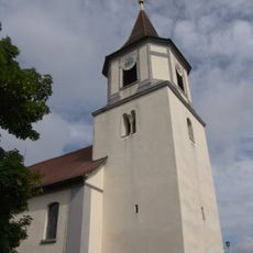
St. Wendel
115 m
St. Maria Magdalena
3.3 km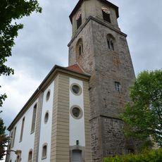
St. Kilian
4.4 km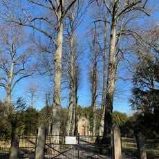
Mausoleum
6.7 km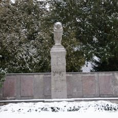
Kriegerdenkmal
6.9 km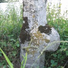
Steinkreuz bei Hürbel
2.2 km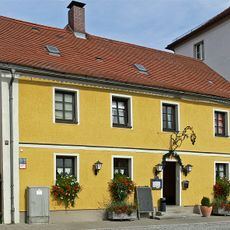
Gasthaus
6.9 km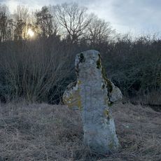
Steinkreuz bei Schwand
4.5 km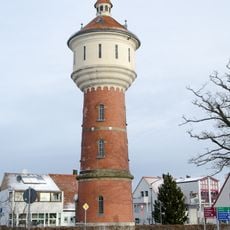
Wasserturm
6.7 km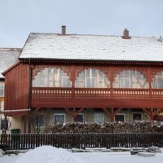
Wohnhaus
7 km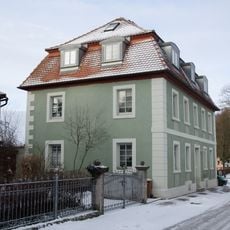
Wohnhaus, ehemaliges Doppelhaus
7 km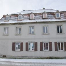
Wohnhaus
7 km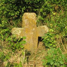
Steinkreuz bei Lauterbach
1.8 km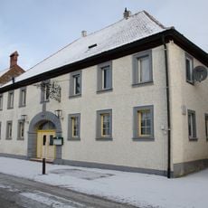
Gasthof Zur Traube
7 km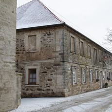
Ehemaliger Gutshof, dann Kaserne
7 km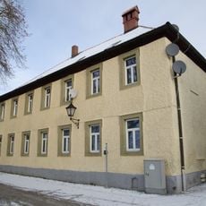
Wohnhaus
7 km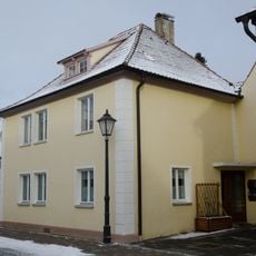
Wohnhaus
6.9 km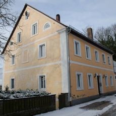
Ehemalige Hofbäckerei
7.1 km
Wohnhaus
7 km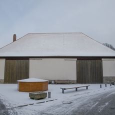
Ehemaliger Zehntstadel
7 km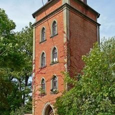
Turm, auch ehemaliger Wasserturm
6.9 km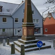
Kriegerdenkmal, Denkmal für die im deutsch-französischen Krieg 1870/71 gefallenen Gemeindemitglieder
7.1 km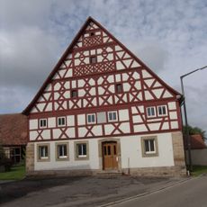
Ehemaliges Gasthaus
1.8 km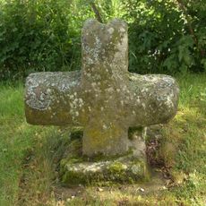
Steinkreuze in Hagenau
1.7 km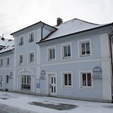
Ehemaliger Gasthof
7 kmReviews
Visited this place? Tap the stars to rate it and share your experience / photos with the community! Try now! You can cancel it anytime.
Discover hidden gems everywhere you go!
From secret cafés to breathtaking viewpoints, skip the crowded tourist spots and find places that match your style. Our app makes it easy with voice search, smart filtering, route optimization, and insider tips from travelers worldwide. Download now for the complete mobile experience.

A unique approach to discovering new places❞
— Le Figaro
All the places worth exploring❞
— France Info
A tailor-made excursion in just a few clicks❞
— 20 Minutes