
Bretzfeld, municipality in Germany
Location: Hohenlohe
Elevation above the sea: 211 m
Website: https://bretzfeld.de
GPS coordinates: 49.18333,9.43333
Latest update: March 2, 2025 23:52
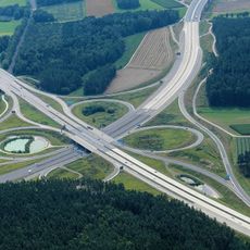
Bundesautobahn 6
2.6 km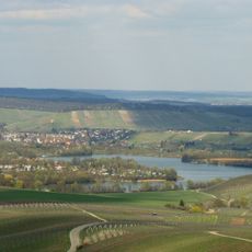
Breitenauer See
7.4 km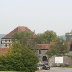
Burg Maienfels
9.1 km
Stiftskirche
5.4 km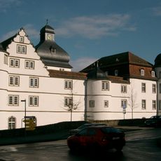
Schloss Pfedelbach
5.2 km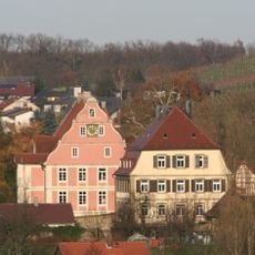
Schloss Eschenau
5.5 km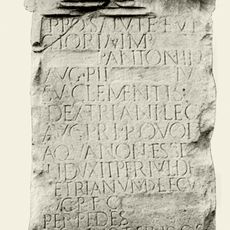
Kastell Öhringen-West
5.3 km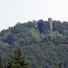
Steinknickle
9 km
Synagogue Affaltrach
6.6 km
Alte Kelter (Eichelberg)
7.7 km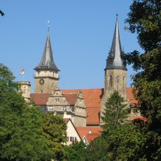
Kollegiatstift Öhringen
5.4 km
Peter und Paulskirche Pfedelbach
5.3 km
St. Joseph (Öhringen)
5.6 km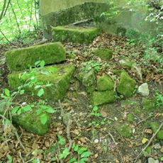
Burgstall Gleichen
8.2 km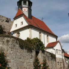
Burgkirche
9.2 km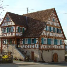
Gasthaus zum Adler
8 km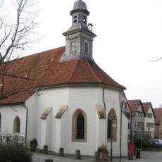
Spitalkirche St. Anna und Elisabeth (Öhringen)
5.2 km
Vaterunser-Kirche
7.5 km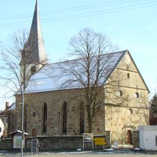
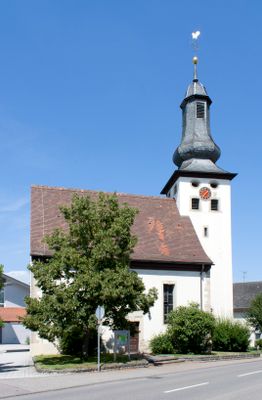
Kilianskirche
2.9 km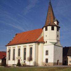
St. Wendelin (Eschenau)
5.6 km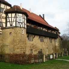
Spital Öhringen
5.1 km
Löwensteiner und Heilbronner Berge
10.6 km
St. Johann Baptist
6.5 km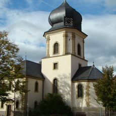
St. Johann
6.6 km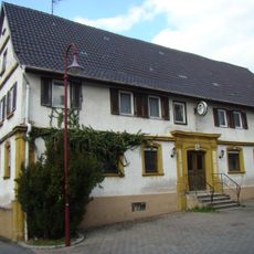
Gasthaus zum Ochsen
5.6 km
Synagogue (Öhringen)
5.2 km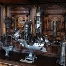
Weygang-Museum
5.8 km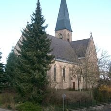
St. Petrus und Paulus (Pfedelbach)
5.1 kmVisited this place? Tap the stars to rate it and share your experience / photos with the community! Try now! You can cancel it anytime.
Discover hidden gems everywhere you go!
From secret cafés to breathtaking viewpoints, skip the crowded tourist spots and find places that match your style. Our app makes it easy with voice search, smart filtering, route optimization, and insider tips from travelers worldwide. Download now for the complete mobile experience.

A unique approach to discovering new places❞
— Le Figaro
All the places worth exploring❞
— France Info
A tailor-made excursion in just a few clicks❞
— 20 Minutes