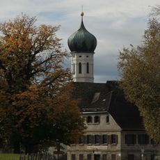
Wessobrunn, municipality in Bavaria, Germany
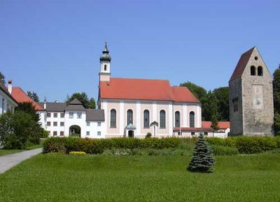
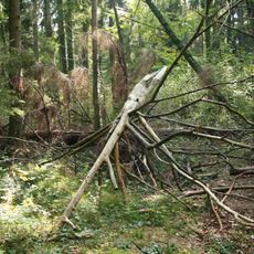
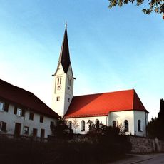
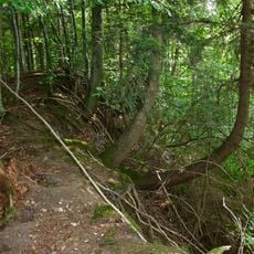
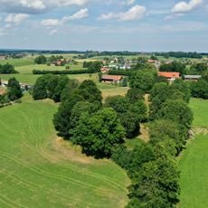
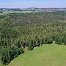
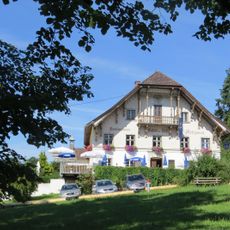
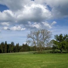
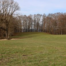
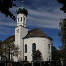
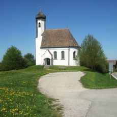
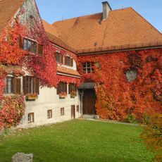
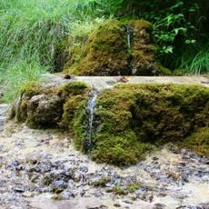
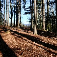
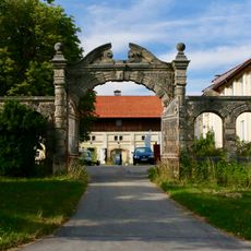
Wessobrunn is a small municipality in the Pfaffenwinkel region of Upper Bavaria, situated on a hill surrounded by fields and forests. The village consists of old buildings and quiet streets, with a monastery at its center dating back to the Middle Ages, plus a large protected forest containing rare yew trees that are hundreds of years old.
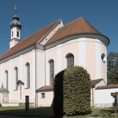
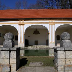
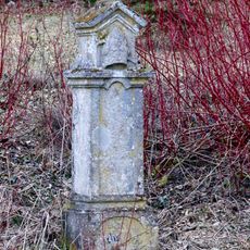
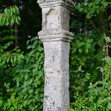
The monastery was founded in 753 and was an important spiritual and cultural center of the region for centuries. In the 17th and 18th centuries, famous stucco work emerged here that artisans spread throughout Europe, while secularization in 1803 fundamentally changed the monastery's function.
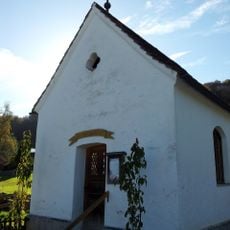
Wessobrunn was a center of stucco craftsmanship for centuries, and this tradition still shapes the village today. Throughout the town you see examples of this fine work on churches and old buildings, showing how artisans from here spread their techniques across Europe.
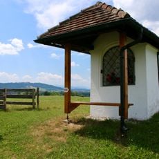
The information center in the old school building offers information about the place's history and culture from April to October and is open Wednesday to Sunday as well as on public holidays. The town is about 25 miles (40 kilometers) from the Pilgrimage Church of Wieskirche and serves as an excellent starting point for walks through the forests and surrounding countryside.
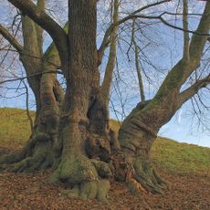
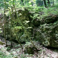
The Tassilo linden tree next to the monastery is a tree over 1,000 years old with a trunk circumference of more than 36 feet (11 meters), connected to a legend about Duke Tassilo who is said to have rested beneath its branches. The yew forest in Paterzell is one of Europe's largest yew forests and harbors medieval trees that are still alive today.
The community of curious travelers
AroundUs brings together thousands of curated places, local tips, and hidden gems, enriched daily by 60,000 contributors worldwide.