
Schilda, municipality in Brandenburg state, Germany
Location: Elbe-Elster District
Elevation above the sea: 137 m
Website: https://elsterland.de/verzeichnis/objekt.php?mandat=17316
GPS coordinates: 51.60000,13.38333
Latest update: April 28, 2025 12:30

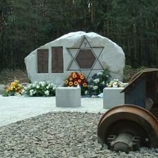
The Lost Train
2.9 km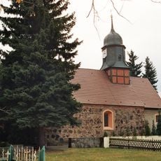
Evangelical Church Tröbitz
3.1 km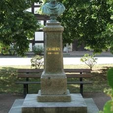
Graun-Denkmal
5.7 km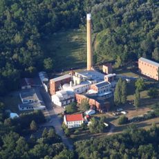
Brikettfabrik Louise
2.9 km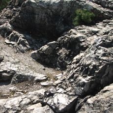
Rothsteiner Felsen
5.1 km
Schloss Uebigau
5.6 km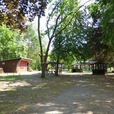
Kleiner Spreewald Wahrenbrück
5.9 km
Stadtpfarrkirche St. Nikolai
5.9 km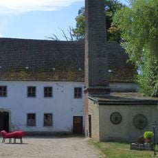
Elstermühle Wahrenbrück
5.9 km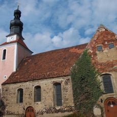
Stadtkirche Wahrenbrück
5.6 km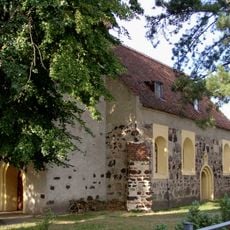
Dorfkirche Schilda
788 m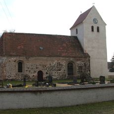
Dorfkirche Drasdo
3 km
Hohe Warte
5.5 km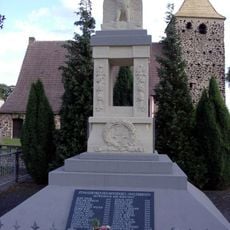
Wiederau war memorial
5.5 km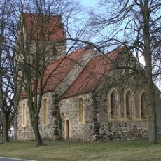
Dorfkirche Prießen
7.6 km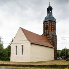
Dorfkirche (Langennaundorf)
3 km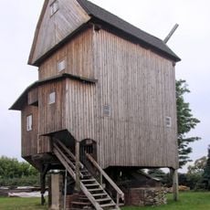
Windmühle Drasdo
2.4 km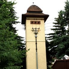
Transformatorenhaus Langennaundorf
2.8 km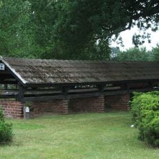
Leiterhaus Rothstein
5.1 km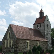
Dorfkirche Buchhain
5.1 km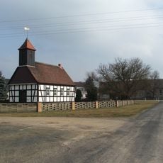
Dorfkirche Nexdorf
4.2 km
Naturdenkmal Stieleiche auf dem Markt
5.8 km
Polish-Saxon Post Milestone in Wahrenbrück
5.8 km
Naturdenkmal Sommerlinde an der Mühle; Flur 6; Flurstück 6 in Wahrenbrück
5.8 km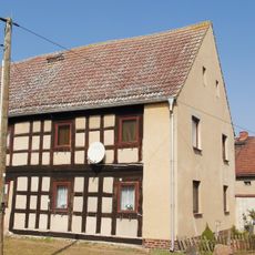
Dorfstraße 2
6.5 km
Naturdenkmal Stieleiche auf Wiesenfläche zwischen München und Langennaundorf
4.4 km
Naturdenkmal Stieleiche auf dem Dorfanger; Flur 2; Flurstück 490/219 in Langennaundorf
3 km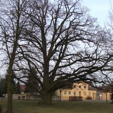
Naturdenkmal Stieleiche an der Kirche Langennaundorf
3 kmReviews
Visited this place? Tap the stars to rate it and share your experience / photos with the community! Try now! You can cancel it anytime.
Discover hidden gems everywhere you go!
From secret cafés to breathtaking viewpoints, skip the crowded tourist spots and find places that match your style. Our app makes it easy with voice search, smart filtering, route optimization, and insider tips from travelers worldwide. Download now for the complete mobile experience.

A unique approach to discovering new places❞
— Le Figaro
All the places worth exploring❞
— France Info
A tailor-made excursion in just a few clicks❞
— 20 Minutes