
Dirlewang, market municipality of Germany
Location: Unterallgäu
Elevation above the sea: 620 m
Part of: Verwaltungsgemeinschaft Dirlewang
Website: https://vg-dirlewang.de
GPS coordinates: 48.00000,10.50000
Latest update: March 20, 2025 08:16
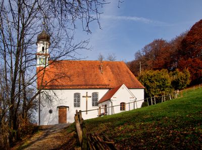
St. Leonhard (Apfeltrach)
2.5 km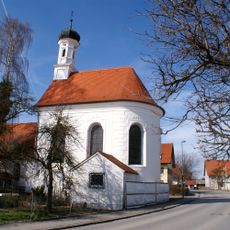
Maria Trost
516 m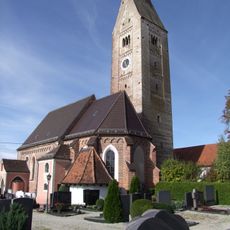
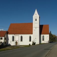
St. Bartholomäus
2.2 km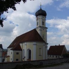
St. Jakobus der Ältere
3.7 km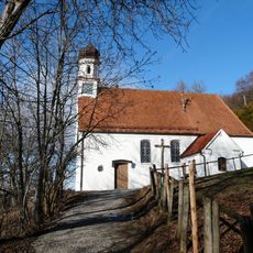
St. Franziskus und Georg
3 km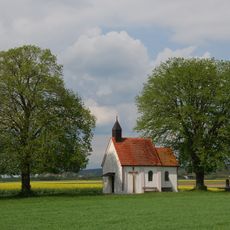
Kapelle zu den 14 Nothelfern
2.5 km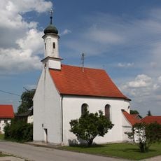
St. Nikolaus
3 km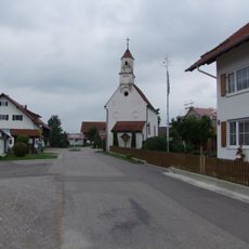
St. Wolfgang
4.7 km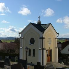
Mindelau Cemetery Chapel
3.7 km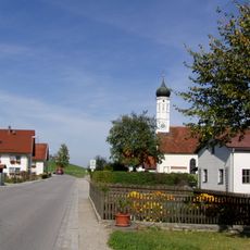
St. Maria (Helchenried)
1.8 km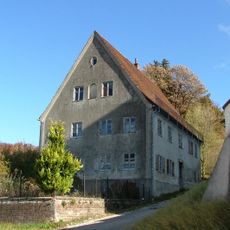
Pfarrhaus
3.7 km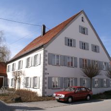
Rectory (Dirlewang)
346 m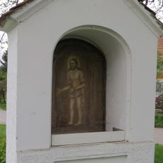
Bildstock in Apfeltrach
1.9 km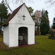
Friedhofskapelle
4.1 km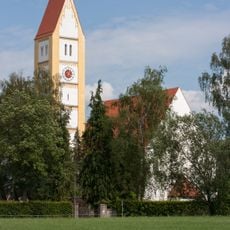
Pfarrkirche
198 m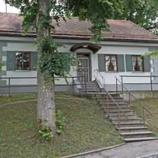
Ehemalige Schule
168 m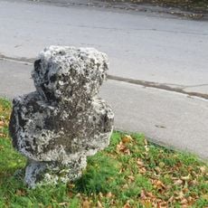
Steinkreuz
2.6 km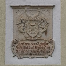
Wappenrelief
2.4 km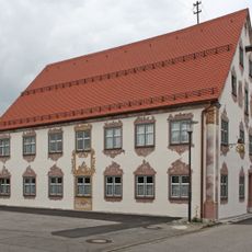
Ehemalige Tafernwirtschaft
436 m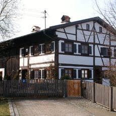
Bauernhaus
130 m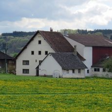
Bauernhaus
3.3 km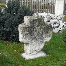
Steinkreuz
4.8 km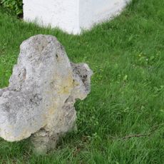
Steinkreuz
1.9 km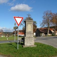
Steinkreuz
2.9 km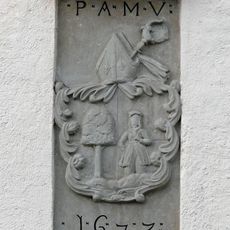
Pfarrhaus
4.6 km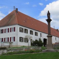
Bauernhaus
2.3 km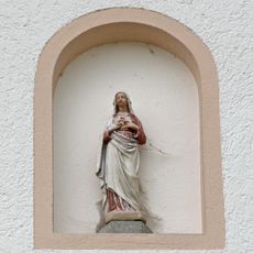
Immaculata
78 m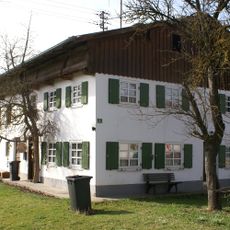
Bauernhaus
480 mVisited this place? Tap the stars to rate it and share your experience / photos with the community! Try now! You can cancel it anytime.
Discover hidden gems everywhere you go!
From secret cafés to breathtaking viewpoints, skip the crowded tourist spots and find places that match your style. Our app makes it easy with voice search, smart filtering, route optimization, and insider tips from travelers worldwide. Download now for the complete mobile experience.

A unique approach to discovering new places❞
— Le Figaro
All the places worth exploring❞
— France Info
A tailor-made excursion in just a few clicks❞
— 20 Minutes