
Trunkelsberg, municipality of Germany
Location: Unterallgäu
Elevation above the sea: 625 m
Part of: Verwaltungsgemeinschaft Memmingerberg
Website: http://trunkelsberg.de
GPS coordinates: 48.00000,10.21667
Latest update: March 11, 2025 07:25
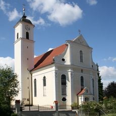
St. Ulrich
2.9 km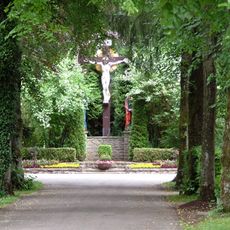
Waldfriedhof
2.1 km
Église de l'Assomption de Memmingen
2.4 km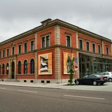
MEWO Kunsthalle
2.7 km
Fatih Moschee
2.5 km
Grünenfurt
2.2 km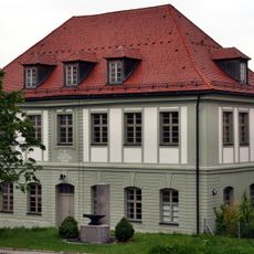
Amendinger Schlössle
2.7 km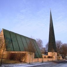
Christuskirche
1.9 km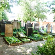
Judenfriedhof
2.3 km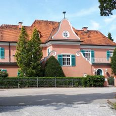
Rotes Schlößle (Memmingerberg)
1.2 km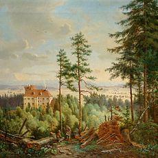
Schloss Eisenburg
1.9 km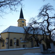
St. Gordian und Epimachus
1.6 km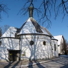
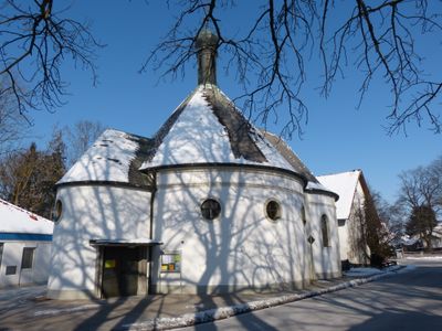
St. Stanislaus Kostka
333 m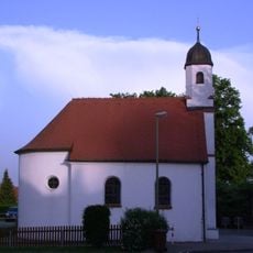
St. Johann Nepomuk
2 km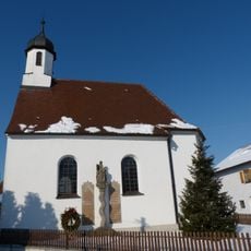
St. Franz Xaver (Schwaighausen)
2.8 km
Bürgerhaus
2.7 km
Fabrikantenvilla
2.5 km
Ehemaliges Armenhaus
2.6 km
Spitalmühle
2.6 km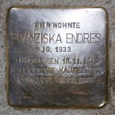
Stolperstein dedicated to Franziska Endres
2.7 km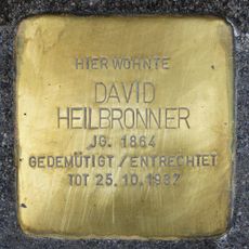
Stolperstein dedicated to David Heilbronner
2.7 km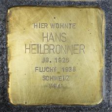
Stolperstein dedicated to Hans Heilbronner
2.7 km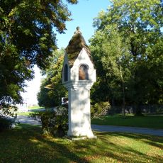
Bildstock, Friedsaul
1.1 km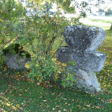
Steinkreuz
1.1 km
Stolperstein dedicated to Helene Heilbronner née Liebschütz
2.7 km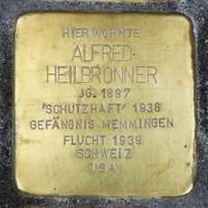
Stolperstein dedicated to Alfred Heilbronner
2.7 km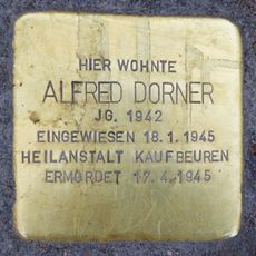
Stolperstein dedicated to Alfred Dorner
2.4 km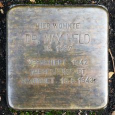
Stolperstein dedicated to Max Held
2.5 kmReviews
Visited this place? Tap the stars to rate it and share your experience / photos with the community! Try now! You can cancel it anytime.
Discover hidden gems everywhere you go!
From secret cafés to breathtaking viewpoints, skip the crowded tourist spots and find places that match your style. Our app makes it easy with voice search, smart filtering, route optimization, and insider tips from travelers worldwide. Download now for the complete mobile experience.

A unique approach to discovering new places❞
— Le Figaro
All the places worth exploring❞
— France Info
A tailor-made excursion in just a few clicks❞
— 20 Minutes