Ostheim vor der Rhön, urban municipality of Germany
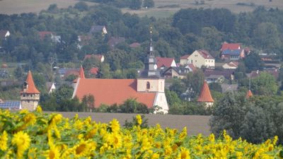
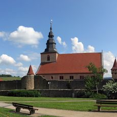
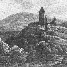
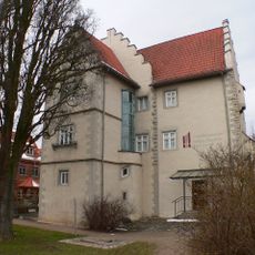
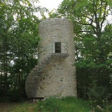
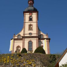
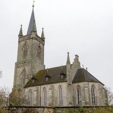
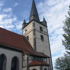
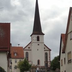
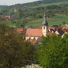
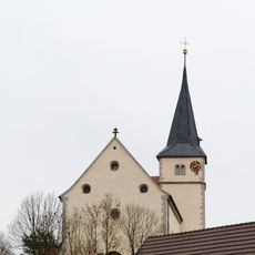
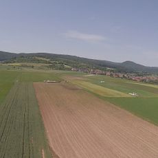
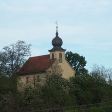
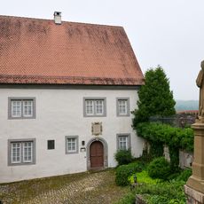
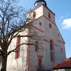
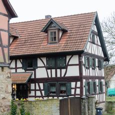
Ostheim vor der Rhön is a small town in Rhön-Grabfeld near the Streu river, known for its well-preserved old town with half-timbered houses spanning several centuries and narrow streets. The center is defined by the fortified church with a square layout and corner towers surrounded by thick walls, housing the St. Michael Church inside.
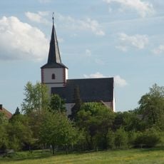
The town was first mentioned in records in 804 and became one of Germany's earliest Protestant town churches during the Reformation, shaping its religious identity to this day. After devastation during the Thirty Years War in the 17th century, the town endured and changed administrative jurisdiction several times before becoming part of Bavaria in 1947.
The town's name refers to its eastern location, while the fortified church serves as a central gathering place for religious services and community events. The walls surrounding the church demonstrate how important this space has been for the identity and unity of the settlement.
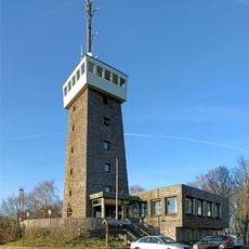
The town is easily reached by car from the nearby autobahn, and there is a railway station with seasonal connections for tourists visiting the historical sites. Hiking trails like the nature trail through the Streu valley are well-marked, and small hotels and guesthouses in town offer affordable accommodation for overnight stays.
The town is designated as a dark sky park community with minimal light pollution, allowing clear viewing of the starry sky at night. Additionally, a local pipe organ museum showcases the craftsmanship and sound diversity of historical musical instruments from the region.
The community of curious travelers
AroundUs brings together thousands of curated places, local tips, and hidden gems, enriched daily by 60,000 contributors worldwide.