
Ottenstein, municipality of Germany
Location: Holzminden
Location: Bodenwerder-Polle
Elevation above the sea: 275 m
Shares border with: Vahlbruch, Brevörde
Website: https://ottensteiner-hochebene.de
GPS coordinates: 51.95000,9.40000
Latest update: March 3, 2025 02:03
Hajener Hungerstein
5.8 km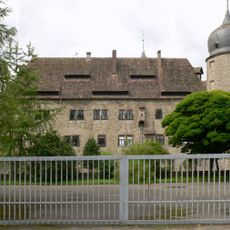
Wasserschloss Hehlen
6.6 km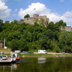
Burg Polle
5.9 km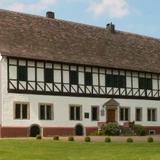
Schloss Münchhausen
8.3 km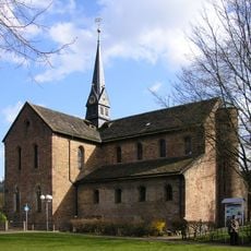
Kloster Kemnade
8.7 km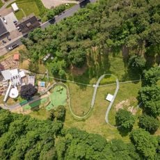
Sommerrodelbahn Bodenwerder
8.1 km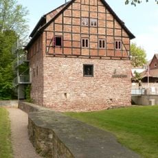
Schulenburg
8.4 km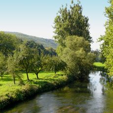
Emmertal
8.2 km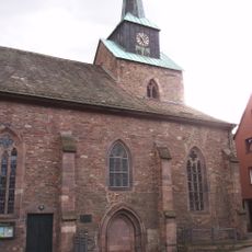
St. Nicolai (Bodenwerder)
8.5 km
Heinsener Klippen
7.7 km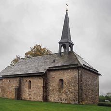
Hattensener Kirche
954 m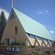
Maria Königin
8.6 km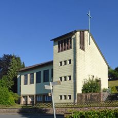
St. Joseph
5.9 km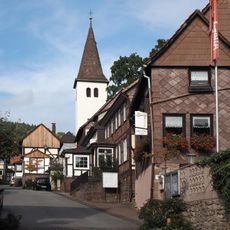
St. Georg
5.6 km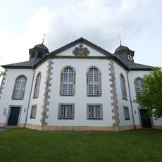
Kirche Hehlen
6.1 km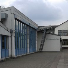
Münchhausenschule Bodenwerder
8.3 km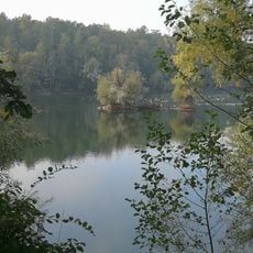
In den Eichen
6.1 km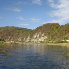
Mühlenberg bei Pegestorf
4.9 km
Osterberg
6.9 km
Steinmühle Pegestorf
4.6 km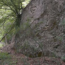
Heinsener Klippen, Graupenburg
8 km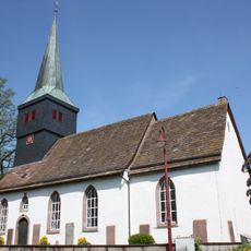
St. Liborius
7.7 km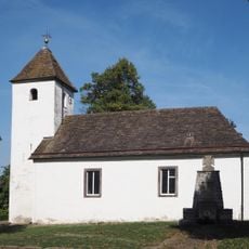
St.-Michaelis-Kirche
7.9 km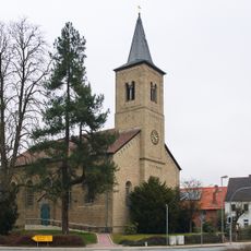
Philipp-Spitta-Kirche
7.8 km
Weinberg bei Rühle
8.4 km
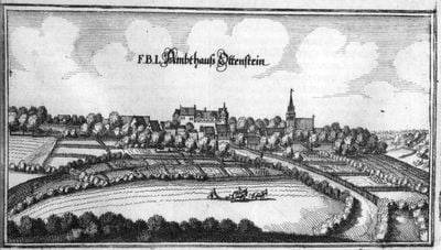
Burg Ottenstein
825 m
Emmertal
8.6 km
Heinsener Klippen
7.8 kmVisited this place? Tap the stars to rate it and share your experience / photos with the community! Try now! You can cancel it anytime.
Discover hidden gems everywhere you go!
From secret cafés to breathtaking viewpoints, skip the crowded tourist spots and find places that match your style. Our app makes it easy with voice search, smart filtering, route optimization, and insider tips from travelers worldwide. Download now for the complete mobile experience.

A unique approach to discovering new places❞
— Le Figaro
All the places worth exploring❞
— France Info
A tailor-made excursion in just a few clicks❞
— 20 Minutes