
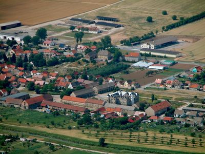
Kannawurf, municipality of Germany
Location: Kindelbrück
Elevation above the sea: 138 m
Website: https://vg-kindelbrueck.de
GPS coordinates: 51.26667,11.13306
Latest update: March 8, 2025 07:01
Festung Heldrungen
7 km
Bilzingsleben
5.1 km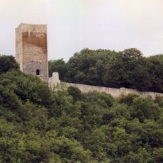
Untere Sachsenburg
3.7 km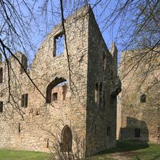
Obere Sachsenburg
3.9 km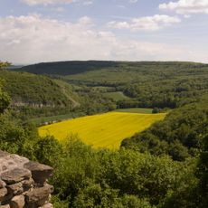
Wipperdurchbruch
8.1 km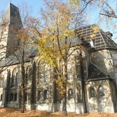
St. Wigberti
4.8 km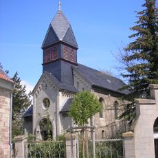
Golgatha-Kirche (Heldrungen)
7.2 km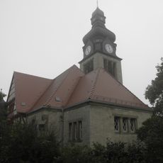
St. Johanniskirche (Oldisleben)
5.2 km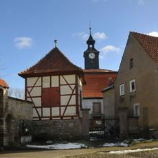
Salvator Church
5.1 km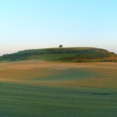
Segelsberg
6.2 km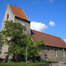
Protestant Church (Kannawurf)
462 m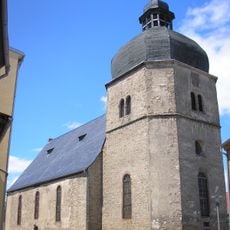
Stadtkirche St. Wigberti
7.1 km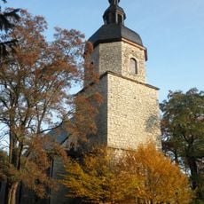
St. Petri und Pauli
5.9 km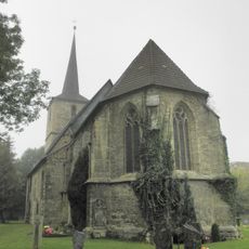
St. Bonifatius (Gorsleben)
3.6 km
St. Andreas
6.2 km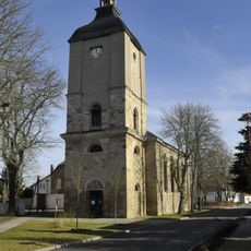
St. Ulrich (Büchel)
2.6 km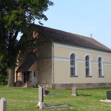
St. Juliana (Sachsenburg)
3 km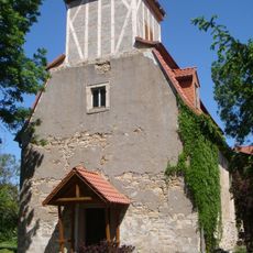
St. Trinitatis
3 km
Church of Frömmstedt
6.6 km
St. Laurentius (Etzleben)
464 m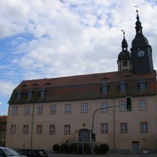
Town hall
3 km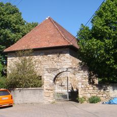
Saint Michael Church (Griefstedt)
4.2 km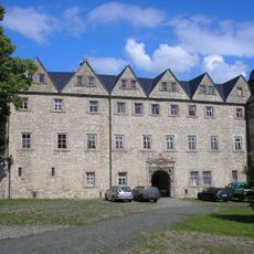
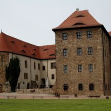
Kannawurf Castle
476 m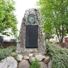
War memorial in Büchel
2.7 km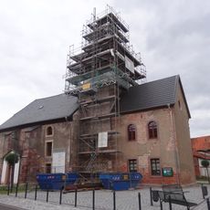
Protestant Church (Seehausen)
7.3 km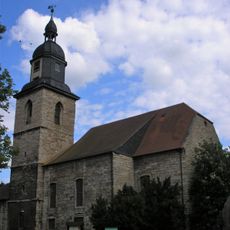
Stadtkirche St. Ulrich (Kindelbrück)
3 km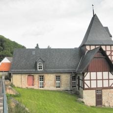
Protestant Church Günserode
7.4 km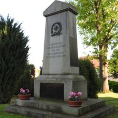
War memorial Gorsleben
3.6 kmVisited this place? Tap the stars to rate it and share your experience / photos with the community! Try now! You can cancel it anytime.
Discover hidden gems everywhere you go!
From secret cafés to breathtaking viewpoints, skip the crowded tourist spots and find places that match your style. Our app makes it easy with voice search, smart filtering, route optimization, and insider tips from travelers worldwide. Download now for the complete mobile experience.

A unique approach to discovering new places❞
— Le Figaro
All the places worth exploring❞
— France Info
A tailor-made excursion in just a few clicks❞
— 20 Minutes