Enable Location

We need your location to show you interesting places around you

Discover nearby places

Find interesting locations and hidden gems around you

Precise directions

Get accurate directions and distances to places

Your location is never shared with other users. It's only used when you tap the location button.

Lübars

Log in to your account

Start exploring — it's free

Trusted by 62,281 travelers worldwide

Continue with Google
Continue with Apple
or

We will send you a code to connect

By continuing, you accept our Terms and Conditions and our Privacy Policy

Check your inbox

We've sent a pincode in your inbox. Please enter the code below.

Lübars

Lübars, Rural settlement in Reinickendorf, Germany.

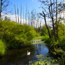
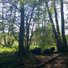
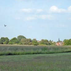
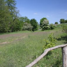
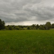
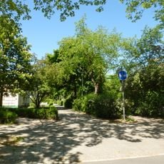
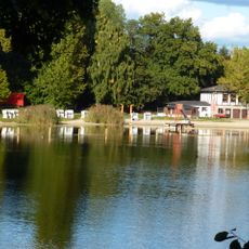
Lübars is a rural settlement in Berlin's Reinickendorf district that stands apart from the modern city through active farmland and agricultural properties. The landscape consists of meadows, fields, and scattered farms that maintain the area's countryside feel despite its urban surroundings.

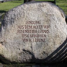
The settlement originated around 1230 during the German eastward expansion movement as a green-village type of community with a central open space. First written records date to 1247, with the name Lubars remaining unchanged since then.

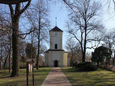
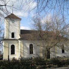
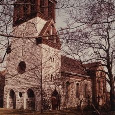
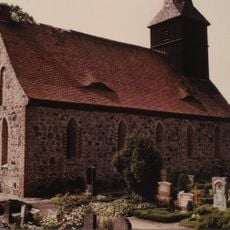
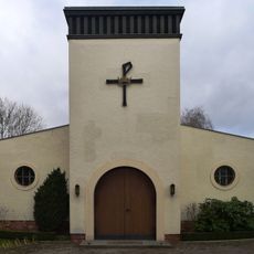
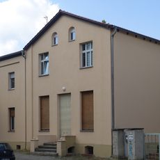
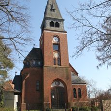
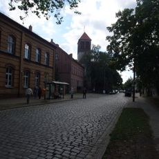
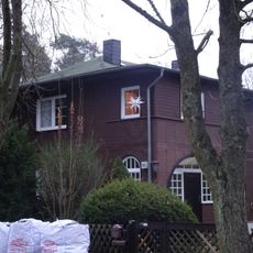
The village church with its baroque style shapes the center of Lübars and reveals the form of a traditional village core. Around this religious focal point, farms and residences have survived, maintaining the area's rural character.

Bus lines 122 and 222 link Lübars to Waidmannslust and Tegel train stations as well as the U-Bahn access point at Alt-Tegel. When arriving by car, parking is available in the area, and the countryside can be explored comfortably on foot using the country roads and paths.

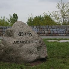
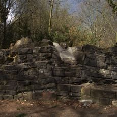
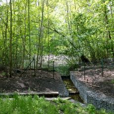
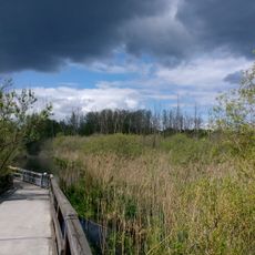
The Lübars recreation park was built on a former landfill site and now offers walking trails with viewpoints over the northern Berlin landscape. Visitors can look out from the hill's height across the urban area and beyond to the surrounding fields.

The community of curious travelers

AroundUs brings together thousands of curated places, local tips, and hidden gems, enriched daily by 60,000 contributors worldwide.

Start exploring
Location
Elevation above the sea
53 m
Shares border with
Waidmannslust, Märkisches Viertel, Hermsdorf, Blankenfelde
GPS coordinates
52.61670,13.36670
Latest update
December 7, 2025 19:22
« Lübars - Rural settlement in Reinickendorf, Germany » is provided by Around Us (aroundus.com). Images and texts are derived from Wikimedia project under a Creative Commons license. You are allowed to copy, distribute, and modify copies of this page, under the conditions set by the license, as long as this note is clearly visible.

Discover hidden gems everywhere you go!

From secret cafés to breathtaking viewpoints, skip the crowded tourist spots and find places that match your style. Our app makes it easy with voice search, smart filtering, route optimization, and insider tips from travelers worldwide. Download now for the complete mobile experience.

Around Us App Screenshot

A unique approach to discovering new places

Le Figaro

All the places worth exploring

France Info

A tailor-made excursion in just a few clicks

20 Minutes

Around Us
Travel Guide & Maps
Download

Send to your phone

QR Code
1

Open the camera app on your mobile.

2

Point at the QR code with your camera. A notification will appear.

3

Tap the notification to open the link.