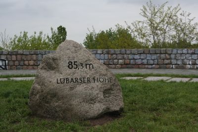
Lübarser Höhe, Public park in Lübars district, Berlin, Germany.
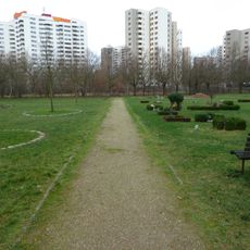
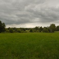
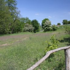
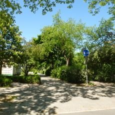
Lübarser Höhe is a public park in Berlin's Lübars district with a maximum elevation of 85 meters and varied terrain. The grounds combine forested sections with open meadows, crisscrossed by numerous paths for walking and exploration.
The park was established in 2015 as part of Berlin's urban development plan for the northern districts and transformed an unused area into a community gathering space. This conversion gave residents and visitors access to green space in this part of the city.
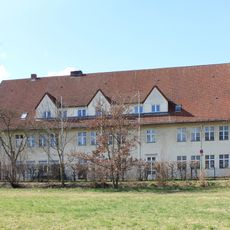
The site houses a historic pheasantry with traditional farm buildings that offer insights into rural life and allow visitors to see farm animals. This establishment reflects how the region was shaped by small-scale farming and animal husbandry over generations.
The grounds offer paths for all types of activities: in winter, a 300-meter illuminated slope provides sledding opportunities, while year-round dedicated areas serve cyclists, riders, and children with playgrounds. The layout allows different visitor groups to enjoy their preferred activities alongside one another.
From the elevation, views extend eastward toward Berlin's television tower and northward into Brandenburg's countryside, making the transition between city and rural landscape distinctly visible. These vantage points make the location a preferred spot for observing seasonal changes in the surroundings.
The community of curious travelers
AroundUs brings together thousands of curated places, local tips, and hidden gems, enriched daily by 60,000 contributors worldwide.