
Raddestorf, municipality of Germany
Location: Uchte
Elevation above the sea: 34 m
GPS coordinates: 52.45000,8.96667
Latest update: March 6, 2025 17:45
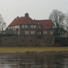
Schloss Petershagen
7.9 km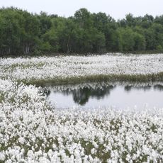
Uchter Moor
10.6 km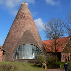
Gernheim Glass Works
4.5 km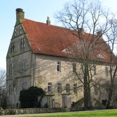
Burg Schlüsselburg
8.1 km
Petershagen barrage
9.2 km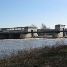
Staustufe Schlüsselburg
7.7 km
Heringsfängermuseum Heimsen
6.6 km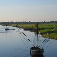
Weseraue
4.1 km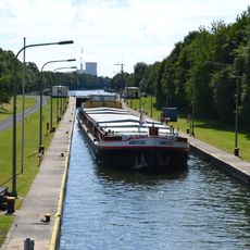
Schleuse Petershagen
5.6 km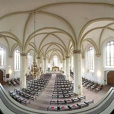
Petrikirche
8 km
Petershagen synagogue
7.3 km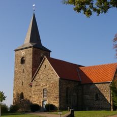
Kirche Windheim
4.7 km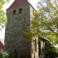
Evangelische Kirche Buchholz
3.2 km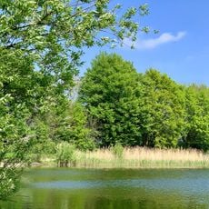
Staustufe Schlüsselburg
7.7 km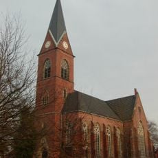
Evangelische Kirche Lahde
9.1 km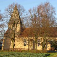
Apostelkirche
3.7 km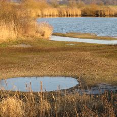
Häverner Marsch
3.2 km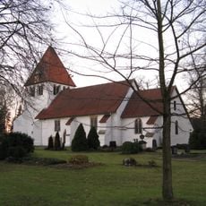
Evangelische Kirche Heimsen
6.2 km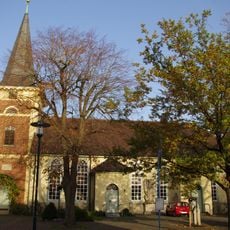
Dorfkirche Uchte
6.7 km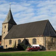
Evangelische Kirche Schlüsselburg
8 km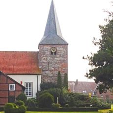
Georgskirche Warmsen
8 km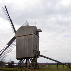
Windmühle Neuenknick
7.1 km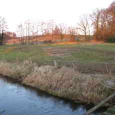
Gehlberg
6.6 km
St.-Martins-Kirche, Nendorf
5.8 km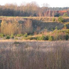
Sandgrube Seelenfeld
7.3 km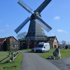
Windmühle Messlingen
9.1 km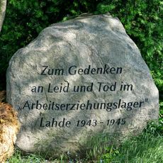
Erinnerungsstätte Arbeitserziehungslager Lahde
8.2 km
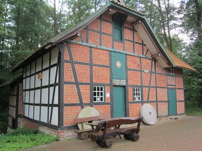
Wassermühle Döhren
5.6 kmReviews
Visited this place? Tap the stars to rate it and share your experience / photos with the community! Try now! You can cancel it anytime.
Discover hidden gems everywhere you go!
From secret cafés to breathtaking viewpoints, skip the crowded tourist spots and find places that match your style. Our app makes it easy with voice search, smart filtering, route optimization, and insider tips from travelers worldwide. Download now for the complete mobile experience.

A unique approach to discovering new places❞
— Le Figaro
All the places worth exploring❞
— France Info
A tailor-made excursion in just a few clicks❞
— 20 Minutes