
Scheden, municipality of Germany
Location: Göttingen district
Location: Dransfeld
Elevation above the sea: 222 m
Website: https://scheden.de
GPS coordinates: 51.45000,9.73306
Latest update: March 12, 2025 16:03
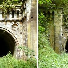
Volkmarshäuser Tunnel
4.2 km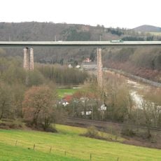
Werra Viaduct, Hedemünden
5.2 km
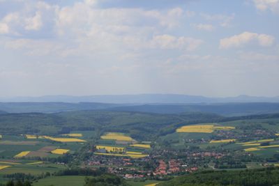
Hoher Hagen
3.6 km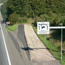
Kasseler Berge
5.1 km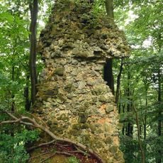
Brackenburg
2.1 km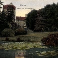
Schloss Jühnde
4.9 km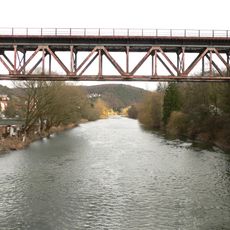
Werratalbrücke Münden
5.9 km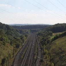
Jühnde
5.1 km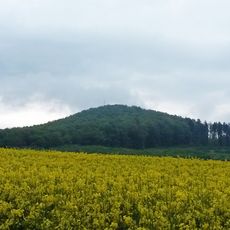
Staufenberg
3.5 km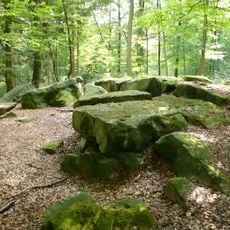
Altarsteine bei Dransfeld
3.3 km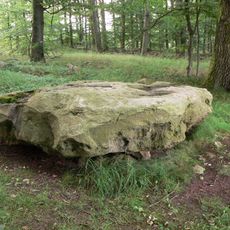
Schalenstein von Wiershausen
2.4 km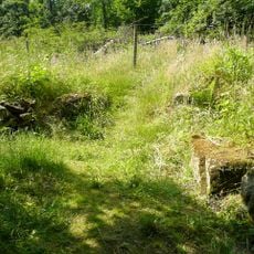
Lippoldsburg
4.3 km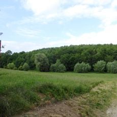
Großer Leinebusch
7 km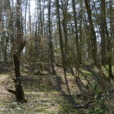
Ossenberg - Fehrenbusch
8.2 km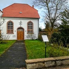
Synagoge (Dransfeld)
6.3 km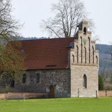
Peterskirche
6.4 km
St. Martini (Jühnde)
4.9 km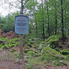
Quarzitschlagplatz Voßküppel
6.6 km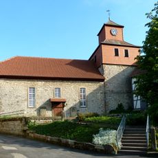
St. Johannes der Täufer
2.1 km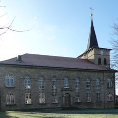
St.-Martini-Kirche
6.2 km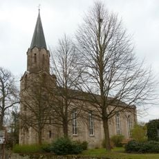
St Petri, Wiershausen
3.1 km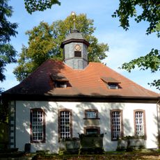
Loewenhagen church
8.1 km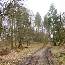
Weserbergland - Kaufunger Wald
2.1 km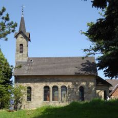
Imbsen church
8 km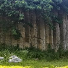
Columnar basalt in Bühren
5.6 km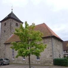
Lippoldshausen church
3.8 km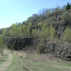
Basaltbruch Hoher Hagen
3.4 km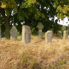
Cross strone (Bühren)
5.3 kmReviews
Visited this place? Tap the stars to rate it and share your experience / photos with the community! Try now! You can cancel it anytime.
Discover hidden gems everywhere you go!
From secret cafés to breathtaking viewpoints, skip the crowded tourist spots and find places that match your style. Our app makes it easy with voice search, smart filtering, route optimization, and insider tips from travelers worldwide. Download now for the complete mobile experience.

A unique approach to discovering new places❞
— Le Figaro
All the places worth exploring❞
— France Info
A tailor-made excursion in just a few clicks❞
— 20 Minutes