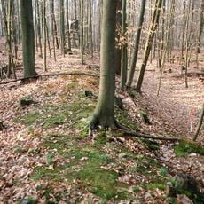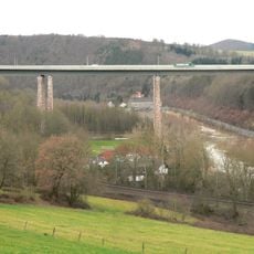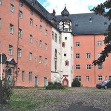
Kasseler Berge, Highway section along A7 near Kassel, Germany
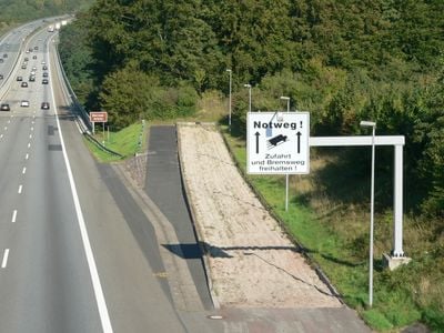
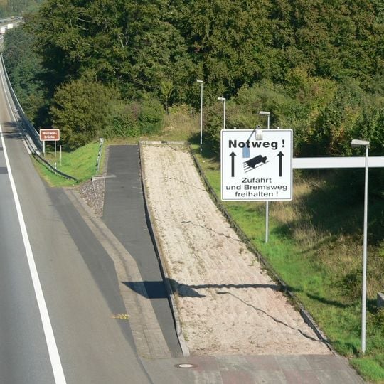
Kasseler Berge is a highway section of the A7 that winds through hilly terrain north of Kassel. The road spans multiple lanes and navigates significant elevation changes as it passes through the Hessian landscape.
The original plans for the Göttingen–Fulda motorway ran parallel to Reichsstraße 27 via Eschwege, not past Kassel. At the end of 1933 the route was changed to demonstrate technical feasibility, with gradients of up to 8 percent accepted for panoramic views from the slopes. In 1950 transport minister Hans-Christoph Seebohm called the alignment traffic-wise nonsensical. Since March 2025 the A 49 has allowed drivers to bypass the Kassel–Kirchheimer Dreieck stretch.
The name "Kasseler Berge" is drivers' slang for the steep climbs and descents of the A 7 between Göttingen, Kassel and the Kirchheimer Dreieck. The route was deliberately laid out in 1933 with gradients of up to 8 percent and wide views from the slopes, following National Socialist landscape ideals. Truckers long avoided it by driving along the Werra to Eschwege and on via Bebra.
The six-lane stretch with hard shoulder carries over 60,000 vehicles a day and jams often, especially in winter when slow trucks bunch in the right lane. Gradients reach 8 percent with tight curves and frequent changes of slope. Since March 2025 the A49 offers a bypass between Kassel and the Kirchheimer Dreieck for traffic to and from Frankfurt.
The route's steepest gradients reach 8 percent, not 7, because planners in late 1933 deliberately accepted extreme slopes to demonstrate technical feasibility and to open panoramic views from the hillsides. Trucks avoiding the climb once detoured via Eschwege, Sontra and Bebra along the B 27.
The community of curious travelers
AroundUs brings together thousands of curated places, local tips, and hidden gems, enriched daily by 92,641 contributors worldwide.