Pennigsehl, municipality of Germany
Location: Liebenau
Elevation above the sea: 48 m
Shares border with: Steyerberg, Binnen, Liebenau
Website: http://liebenau.de
GPS coordinates: 52.63306,9.01667
Latest update: March 7, 2025 05:26
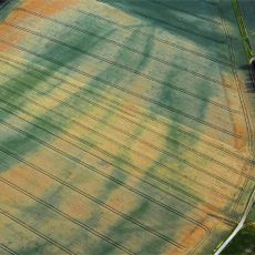
Erdwerk von Wellie
7.3 km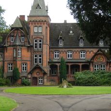
Schloss Eickhof
6.6 km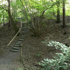
Burg Steyerberg
6.7 km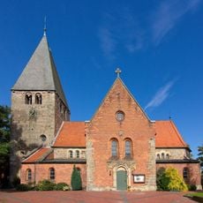
Saint Clemens church in Marklohe
10.3 km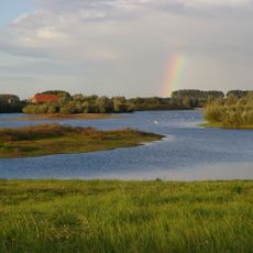
Liebenauer Gruben
10 km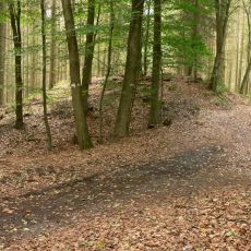
Alte Schanze
8.2 km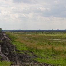
Borsteler Moor
4.8 km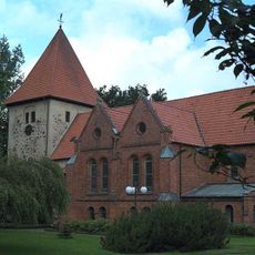
St. John the Baptist Church
11.5 km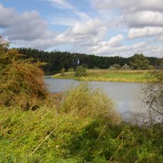
Wellier Schleife/ Staustufe Landesbergen
8.4 km
Hohes Moor (Hannover)
9.3 km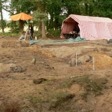
Sächsisch-karolingische Siedlung von Liebenau
6.9 km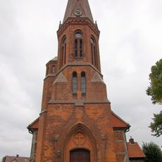
Lutherische Kirche
9.7 km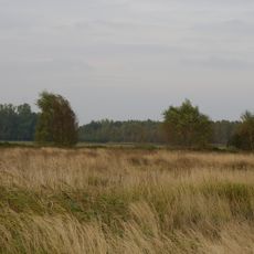
Siedener Moor
7.5 km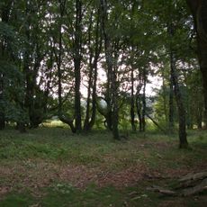
Eichenkratt (Deblinghausen)
4.1 km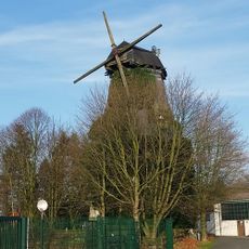
Windmühle Reina Roxana
5.6 km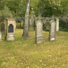
Jüdischer Friedhof
6.9 km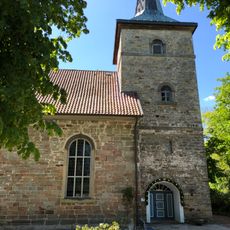
Kirche Landesbergen
10.8 km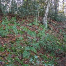
Burg bei Deblinghausen
6.4 km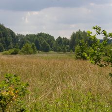
Speckenbachtal
6.1 km
Lemker Marsch
11 km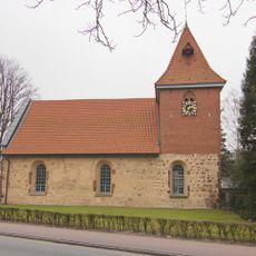
St.-Nicolai-Kirche
5.1 km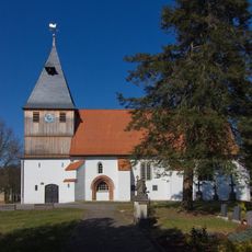
St.-Katharinen-Kirche
7.2 km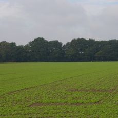
Eichen-Hülsenwälder
6.4 km
Kapelle Siedenburg
7.6 km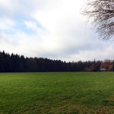
Weberkuhle - Kaiserberg
4.3 km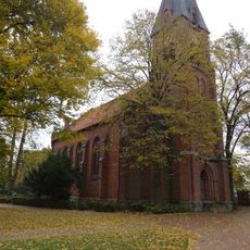
St. Vitus
11.6 km
Kuppendorfer Böhrde
11.3 km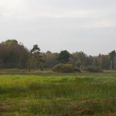
Hohes Moor bei Kirchdorf
10.2 kmVisited this place? Tap the stars to rate it and share your experience / photos with the community! Try now! You can cancel it anytime.
Discover hidden gems everywhere you go!
From secret cafés to breathtaking viewpoints, skip the crowded tourist spots and find places that match your style. Our app makes it easy with voice search, smart filtering, route optimization, and insider tips from travelers worldwide. Download now for the complete mobile experience.

A unique approach to discovering new places❞
— Le Figaro
All the places worth exploring❞
— France Info
A tailor-made excursion in just a few clicks❞
— 20 Minutes