
Ruhwinkel, municipality of Germany
Location: Plön District
Elevation above the sea: 8 m
Website: https://gemeinde-ruhwinkel.de
GPS coordinates: 54.09444,10.22139
Latest update: March 2, 2025 22:04
Trappenkamp, Naturerlebnisraum Erlebniswald
8.1 km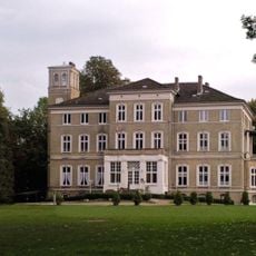
Gut Ascheberg
9 km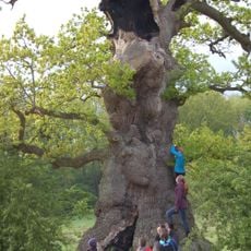
Kattholzeiche
2.5 km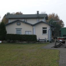
Museum im Bahnhof Kleinkummerfeld
13.4 km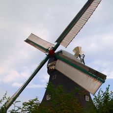
Langenrader Windmühle
10.7 km
FFH-Gebiet Bönebütteler Gehege
8 km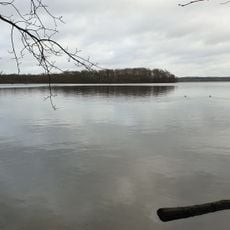
Ascheberger Warder im Großen Plöner See
10 km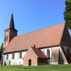
Vicelinkirche St. Jakobi Bornhöved
2.8 km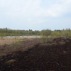
Tarbeker Moor
9.4 km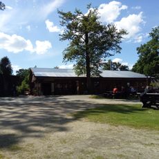
Fischerei Lasner
8.7 km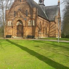
Evangelische Kirche Wankendorf
2.8 km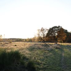
Kiebitzholmer Moor und Trentmoor
10.9 km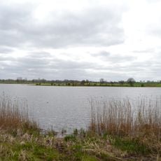
Kührener Teich und Umgebung
11.7 km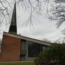
Friedenskirche
6.1 km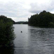
Mittlerer Stocksee und Umgebung
8.7 km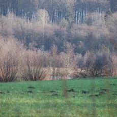
Fuhlensee und Umgebung
611 m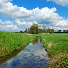
Tal der Drögen Eider und Eidertal
12 km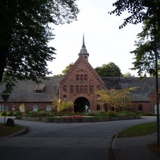
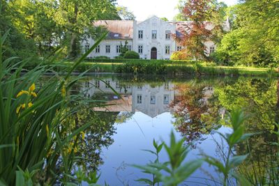
Gut Schönböken: Herrenhaus
2 km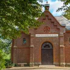
Friedhofskapelle
2.1 km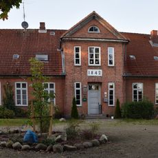
Kirchstraße 4
2.8 km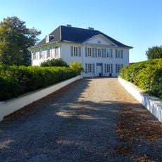
Gut Stockseehof
7.4 km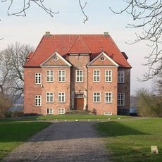
Gut Wahlstorf
10.3 km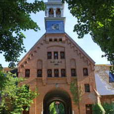
Gut Schönböken: Torhaus
2.1 km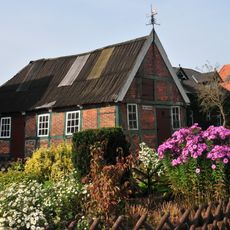
Alte Schmiede
11.7 km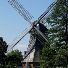
Windmühle Elfriede
11.9 km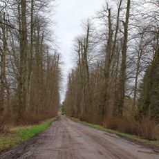
Zufahrtsallee
9 km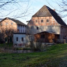
Papiermühle Groß Kummerfeld
12.7 km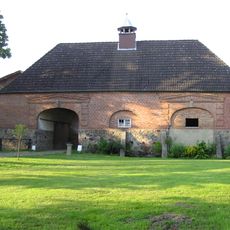
Hofanlage „Torhaus Warnau“
11.1 kmReviews
Visited this place? Tap the stars to rate it and share your experience / photos with the community! Try now! You can cancel it anytime.
Discover hidden gems everywhere you go!
From secret cafés to breathtaking viewpoints, skip the crowded tourist spots and find places that match your style. Our app makes it easy with voice search, smart filtering, route optimization, and insider tips from travelers worldwide. Download now for the complete mobile experience.

A unique approach to discovering new places❞
— Le Figaro
All the places worth exploring❞
— France Info
A tailor-made excursion in just a few clicks❞
— 20 Minutes