
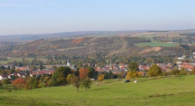
Staudernheim, municipality of Germany
Location: Bad Kreuznach
Elevation above the sea: 140 m
Website: https://staudernheim.de
GPS coordinates: 49.77556,7.68861
Latest update: March 3, 2025 02:07
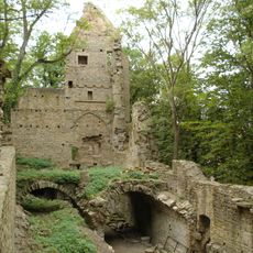
Disibodenberg
912 m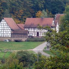
Open Air Museum Bad Sobernheim
2.9 km
Saint Matthew Church
2.9 km
St. Matthiaskirche
2.8 km
Bahnhof Odernheim (Glan)
1.5 km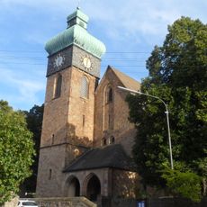
Kirche in Duchroth
3.8 km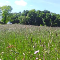
Disibodenberg
864 m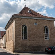
Synagoge
3 km
Quellenpavillon
1.8 km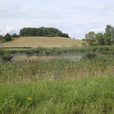
Hellersberger Weiher
3.2 km
Bella Türkiye
2.9 km
Disibodenberger Kapelle
2.6 km
Malteserkapelle Malteser Straße 9
2.9 km
Disibodenberg
875 m
Philippskirche Kreuzstraße 7
3 km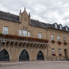
Rathaus
2.8 km
Gasthaus Hohe Burg Wilhelmstraße 8
3 km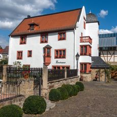
Priorhof Priorhofstraße 16
2.8 km
Wohn- und Geschäftshaus Marktplatz 6
2.8 km
Stadtmühle Bad Sobernheim
3 km
Kleinmühle Felkestraße
2.3 km
Schulhaus Gymnasialstraße 11
3 km
Russischer Hof Großstraße 55
2.9 km
Wohn- und Geschäftshaus Marktplatz 9
2.8 km
Deutschordenskomturei Gymnasialstraße 11
3 km
Wohnmobilstellplatz
2.2 km
Wohn- und Geschäftshaus Großstraße 19
3 km
Zum kleinen Erker Wilhelmstraße 3
3 kmVisited this place? Tap the stars to rate it and share your experience / photos with the community! Try now! You can cancel it anytime.
Discover hidden gems everywhere you go!
From secret cafés to breathtaking viewpoints, skip the crowded tourist spots and find places that match your style. Our app makes it easy with voice search, smart filtering, route optimization, and insider tips from travelers worldwide. Download now for the complete mobile experience.

A unique approach to discovering new places❞
— Le Figaro
All the places worth exploring❞
— France Info
A tailor-made excursion in just a few clicks❞
— 20 Minutes