Enable Location

We need your location to show you interesting places around you

Discover nearby places

Find interesting locations and hidden gems around you

Precise directions

Get accurate directions and distances to places

Your location is never shared with other users. It's only used when you tap the location button.

Bad Kreuznach

Log in to your account

Start exploring — it's free

Trusted by 61,364 travelers worldwide

Continue with Google
Continue with Apple
or

We will send you a code to connect

By continuing, you accept our Terms and Conditions and our Privacy Policy

Check your inbox

We've sent a pincode in your inbox. Please enter the code below.

Bad Kreuznach, Administrative district in Rhineland-Palatinate, Germany

Description

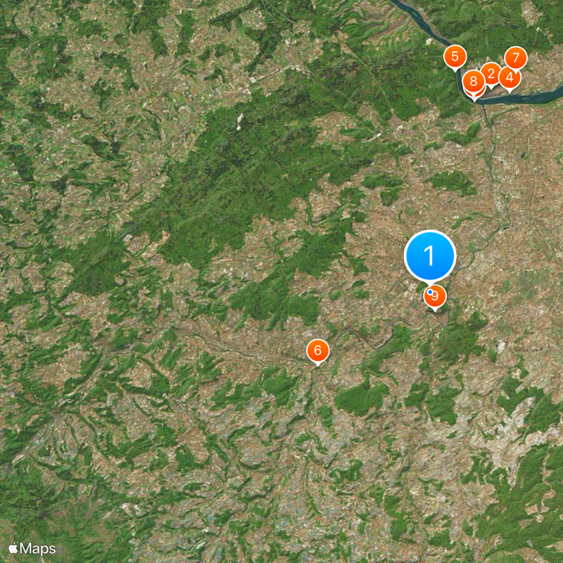
Bad Kreuznach is an administrative district in Rhineland-Palatinate located between the Hunsrück mountains and the North Palatine Uplands. The Nahe River runs through the landscape, connecting the towns and villages that define the region's character.

History

The district was established in 1815 under Prussian rule and merged with Meisenheim district in 1932. Its present name and shape came from administrative changes in 1969.

Culture

Small towns and villages throughout the region preserve their own distinctive character and local traditions, with wine-making heritage visible in many communities. People here take pride in their connection to the Nahe valley and the stories that shape daily life in the area.

Practical

The district capital of Bad Kreuznach sits centrally and connects well through roads and railways running along the Nahe valley. When exploring, the river and its connections between towns serve as helpful navigation guides.

Did you know?

The district coat of arms features the Palatinate heraldic lion combined with blue and gold, symbols that trace back to the historical county of Sponheim. These heraldic elements remain a visible link to the region's medieval past.

Inception
1816
Capital city
Bad Kreuznach
Elevation above the sea
265 m
Shares border with
Rhein-Hunsrück-Kreis, Mainz-Bingen district, Alzey-Worms district, Donnersbergkreis, Kusel, Birkenfeld
GPS coordinates
49.83000,7.83000
Latest update
December 14, 2025 21:20

AroundUs brings together thousands of curated places, local tips, and hidden gems, enriched daily by 60,000 contributors worldwide. Discover all places nearby (Rhineland-Palatinate).

« Bad Kreuznach - Administrative district in Rhineland-Palatinate, Germany » is provided by Around Us (aroundus.com). Images and texts are derived from Wikimedia project under a Creative Commons license. You are allowed to copy, distribute, and modify copies of this page, under the conditions set by the license, as long as this note is clearly visible.

Discover hidden gems everywhere you go!

From secret cafés to breathtaking viewpoints, skip the crowded tourist spots and find places that match your style. Our app makes it easy with voice search, smart filtering, route optimization, and insider tips from travelers worldwide. Download now for the complete mobile experience.

Around Us App Screenshot

A unique approach to discovering new places

Le Figaro

All the places worth exploring

France Info

A tailor-made excursion in just a few clicks

20 Minutes

Around Us
Travel Guide & Maps
Download

Send to your phone

QR Code
1

Open the camera app on your mobile.

2

Point at the QR code with your camera. A notification will appear.

3

Tap the notification to open the link.