Mörsdorf, municipality in Rhineland-Palatinate, Germany
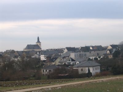
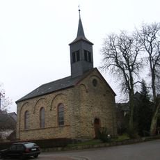
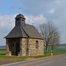
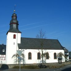
Mörsdorf is a small municipality in the Hunsrück region with approximately 620 residents, situated on elevated ground and surrounded by gently rolling hills. The village features traditional timber-framed houses with small windows arranged along quiet streets lined with well-maintained gardens.
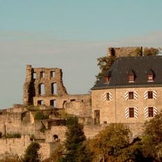
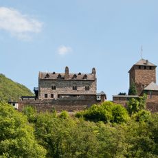
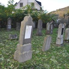
Mörsdorf first appears in written records over 900 years ago and was originally divided among multiple rulers. Over the centuries it changed hands between French control and Prussian authority before becoming part of modern Germany and the state of Rhineland-Palatinate.
The village has preserved its name in local records for over 900 years, and residents gather annually to celebrate traditions and strengthen community bonds. Neighbors support each other in daily life and participate in local events that keep the village's character alive.
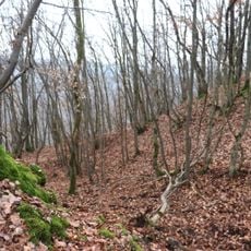
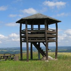
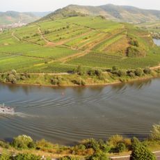
The village sits on elevated ground with excellent views of green hills and forests, with well-marked hiking paths suitable for walkers and cyclists. The quiet streets and narrow lanes make the village ideal for exploration on foot or by bicycle.
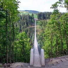
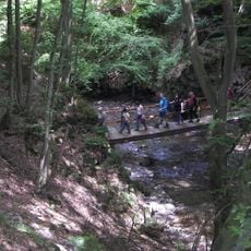
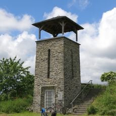
The Geierlay suspension bridge, one of Germany's longest, opened in 2015 and spans a deep valley with spectacular views. Designed by a Swiss engineer, it attracts visitors seeking the thrill of walking across a swaying walkway high above the forest.
The community of curious travelers
AroundUs brings together thousands of curated places, local tips, and hidden gems, enriched daily by 60,000 contributors worldwide.