
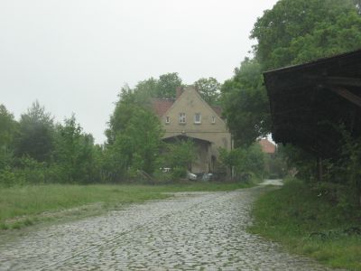
Stoetze, municipality of Germany
Location: Rosche
Location: Uelzen District
Elevation above the sea: 74 m
Website: https://www.samtgemeinde-rosche.de/
Website: https://samtgemeinde-rosche.de
GPS coordinates: 53.06667,10.78333
Latest update: March 3, 2025 02:17
Hoher Mechtin
8.8 km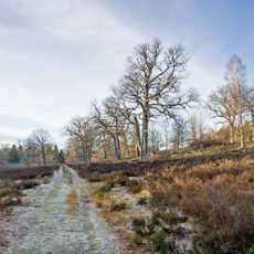
Breeser Grund
5.3 km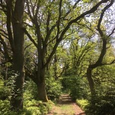
Eichen- und Buchenwälder in der Göhrde
6.7 km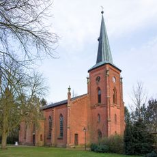
St. Johannis
9.2 km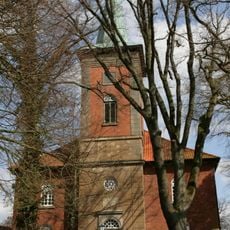
St. Bartholomäus
4.7 km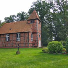
Church
7.3 km
Almstorfer Moor
7.3 km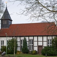
Kirche
6.6 km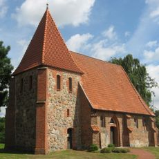
Chapel of Our Lady in Oetzen
8.9 km
Chapel (Gollern)
9.7 km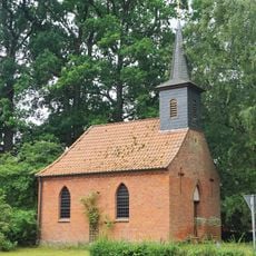
Chapel of Groß Thondorf
8.7 km
Chapel of Höver
7.8 km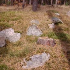
Großsteingrab Wittfeitzen
10.6 km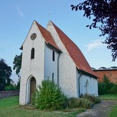
St. John the Baptist Chapel (Stöcken)
9.8 km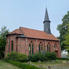
Chapel of St. Laurence in Polau
7.8 km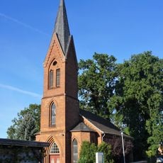
Church of St. James (Nateln)
10.7 km
Chapel of Weste
5.4 km
Matthäus-Kirche
9.5 km
Großsteingräber bei Oetzen
8.7 km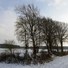
Großsteingrab Boitze
8.6 km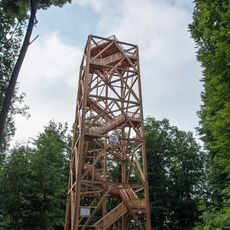
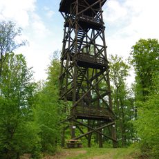
Hoher Mechtin Observation Tower
8.8 km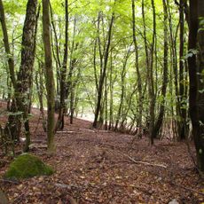
Elbhöhen-Drawehn
9.3 km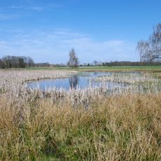
Kammmolch-Biotop Mührgehege/Oetzendorf
10.3 km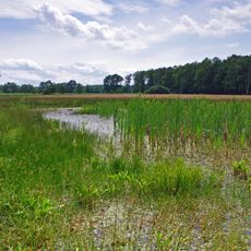
Rotbauchunken-Vorkommen Strothe/Almstorf
6.3 km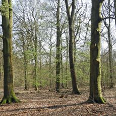
Konau bei Braudel
11 km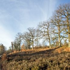
Göhrder Eichen
5.1 km
Ewige Route
9.8 km
Buchen- und Eichenwälder in der Göhrde (mit Breeser Grund)
7 kmReviews
Visited this place? Tap the stars to rate it and share your experience / photos with the community! Try now! You can cancel it anytime.
Discover hidden gems everywhere you go!
From secret cafés to breathtaking viewpoints, skip the crowded tourist spots and find places that match your style. Our app makes it easy with voice search, smart filtering, route optimization, and insider tips from travelers worldwide. Download now for the complete mobile experience.

A unique approach to discovering new places❞
— Le Figaro
All the places worth exploring❞
— France Info
A tailor-made excursion in just a few clicks❞
— 20 Minutes