
Wettrup, municipality of Germany
Location: Emsland
Location: Lengerich
Elevation above the sea: 28 m
Website: http://wettrup.de
GPS coordinates: 52.56667,7.58333
Latest update: March 3, 2025 23:48
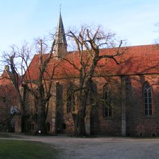
Börstel convent
11.9 km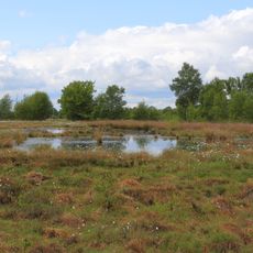
Hahnenmoor
9.7 km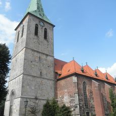
St. Vincentius-Kirche Haselünne
13.5 km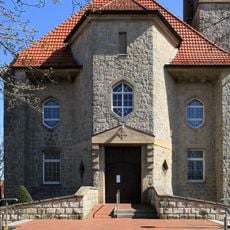
Pfarr- und Klosterkirche Herz-Jesu
607 m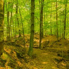
Maiburg
11.8 km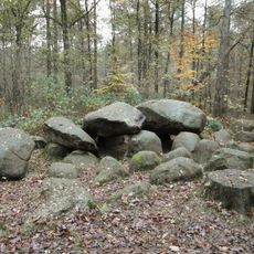
Großsteingrab in der Kunkenvenne
8.6 km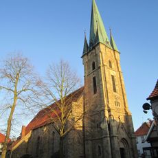
St. Georg
8.3 km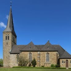
St. Servatius
12.4 km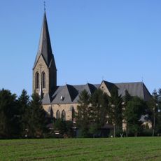
St. Alexander
12.2 km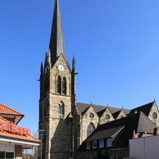
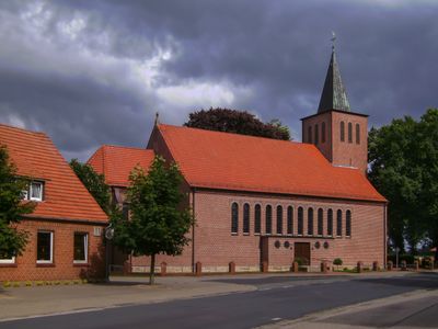
St. Benedikt (Lengerich)
3.8 km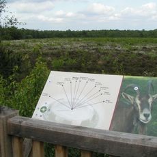
Hahlener Moor
13.9 km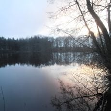
Lechtegoor
7.6 km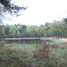
Swatte Poele
4.4 km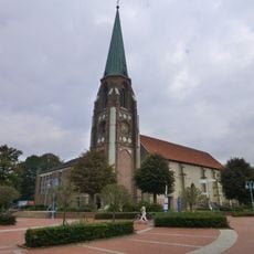
St. Nikolaus
13.2 km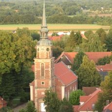
Lutherkirche (Berge)
12.6 km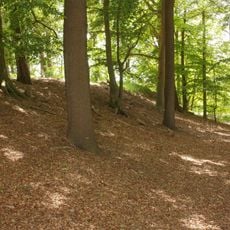
Aseburg
14.9 km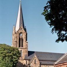
St. Vitus
9.1 km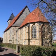
Reformierte Kirche Lengerich
3.7 km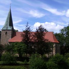
St. Georg
10.6 km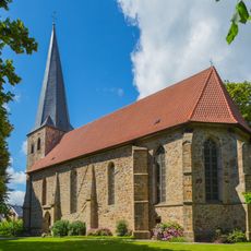
Evangelische Kirche
9.2 km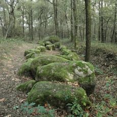
Großsteingrab im Alt-Frerener Forst
7.3 km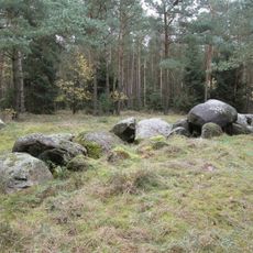
Großsteingrab auf dem Radberg
10 km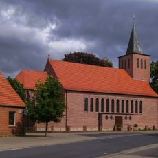
St. Antonius und St. Gerhard Majella
2.6 km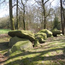
Großsteingrab Dalum
10.6 km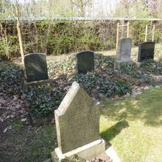
Jewish Cemetery
7.9 km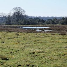
Haselünner Kuhweide
11.8 km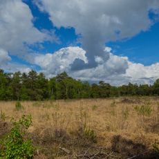
Hahnenmoor, Hahlener Moor, Suddenmoor
12.1 km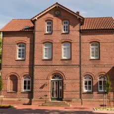
Railway Station Haselünne
14 kmVisited this place? Tap the stars to rate it and share your experience / photos with the community! Try now! You can cancel it anytime.
Discover hidden gems everywhere you go!
From secret cafés to breathtaking viewpoints, skip the crowded tourist spots and find places that match your style. Our app makes it easy with voice search, smart filtering, route optimization, and insider tips from travelers worldwide. Download now for the complete mobile experience.

A unique approach to discovering new places❞
— Le Figaro
All the places worth exploring❞
— France Info
A tailor-made excursion in just a few clicks❞
— 20 Minutes