
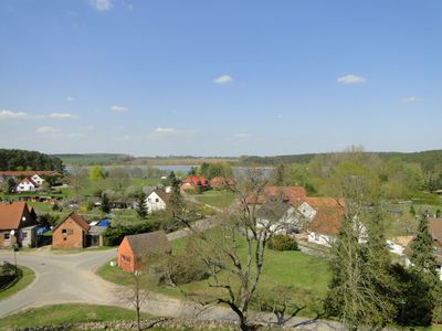
Lohmen, municipality of Germany
Location: Rostock District
Elevation above the sea: 38 m
Website: http://lohmen.de
GPS coordinates: 53.68306,12.08972
Latest update: March 10, 2025 23:47
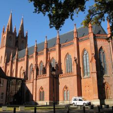
Dobbertin Abbey
7.6 km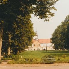
Gut Bellin
7.1 km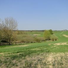
Naturpark Nossentiner/Schwinzer Heide
10.8 km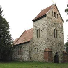
Church in Woserin
5.9 km
Church in Ruchow
7.8 km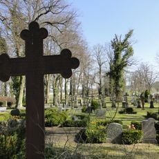
Cemetery of Monastery Dobbertin
7.1 km
Dobbertiner Seenlandschaft und mittleres Mildenitztal - Landkreis Parchim (jetzt Ludwigslust-Parchim)
6.1 km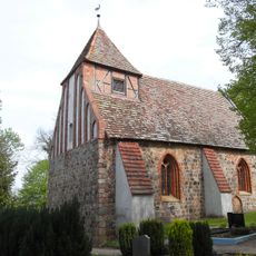
Dorfkirche Badendiek
7.9 km
Church in Bellin
8 km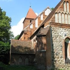
Church in Kirch Kogel
5.9 km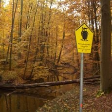
Klädener Plage und Mildenitz- Durchbruchstal
5.1 km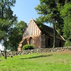
Church in Boitin
11.2 km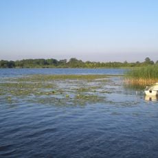
Gutower Moor und Schöninsel
8.6 km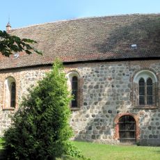
Church in Groß Upahl
5.4 km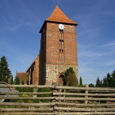
Dorfkirche Tarnow
11.6 km
Schwinzer Hellberg-Tongrube
7.6 km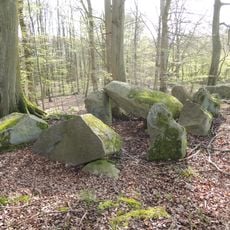
Großsteingrab Forst Tarnow 1
8.7 km
Upahler und Lenzener See
5.1 km
Kläden
4.4 km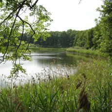
Bolzer See
6.4 km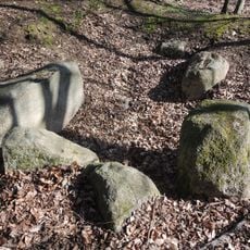
Großsteingrab Luisenhof
7.2 km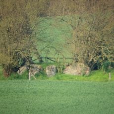
Großsteingrab Boitin
11.4 km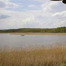
Breeser See
2.3 km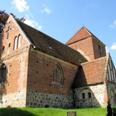
Church in Karcheez
8.9 km
Dobbertiner Seenlandschaft und mittleres Mildenitztal-Landkreis Güstrow (jetzt Lkrs. Rostock)
3.7 km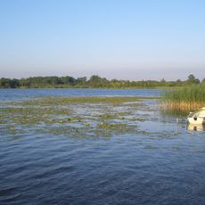
Inselsee Güstrow
10.4 km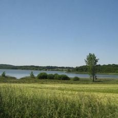
Wald- und Gewässerlandschaft um Groß Upahl und Boitin
8 km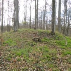
Großsteingrab Forst Tarnow 2
9.2 kmReviews
Visited this place? Tap the stars to rate it and share your experience / photos with the community! Try now! You can cancel it anytime.
Discover hidden gems everywhere you go!
From secret cafés to breathtaking viewpoints, skip the crowded tourist spots and find places that match your style. Our app makes it easy with voice search, smart filtering, route optimization, and insider tips from travelers worldwide. Download now for the complete mobile experience.

A unique approach to discovering new places❞
— Le Figaro
All the places worth exploring❞
— France Info
A tailor-made excursion in just a few clicks❞
— 20 Minutes