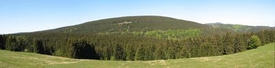
Rehberg, Mountain summit in Harz range, Germany.
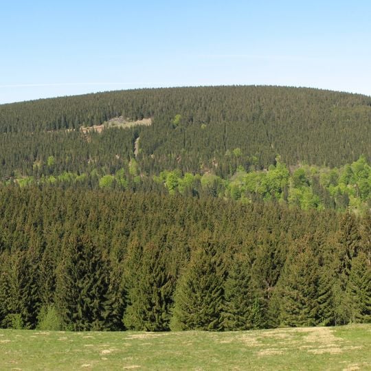
Rehberg is a broad, flat-domed mountain in the Harz National Park, reaching 893 metres (2,930 ft) above sea level. Its summit region is largely forested, with a marsh biotope created by artificial water damming. The mountain lies immediately north of Sankt Andreasberg.
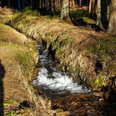
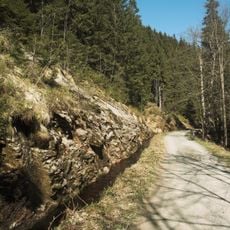
The Rehberg's documented history is tied to the Harz mining landscape around Sankt Andreasberg. The Rehberger Graben, a water channel on its eastern and southern flanks, was built to supply water for mining, and the Rehberger Grabenhaus served as a tavern on that route. In recent decades the national park renaturalised the access path past the Rehberger Skikreuz, and a marsh biotope was created on the summit by artificial water damming.
The mountain's name is recalled at the Rehberger Skikreuz between the Rehberg and the Kleinen Sonnenberg, a steel mast carrying a wind rose whose letters stand for Sonnenberg, Oderteich, Rehberg and Sankt Andreasberg instead of compass points. Walkers and cross-country skiers circle the mountain on the Rehberger Planweg, while the lower Rehberger Grabenweg passes the Rehberger Grabenhaus tavern, checkpoint 155 of the Harzer Wandernadel.
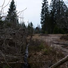
The summit is hard to reach: the path past the Rehberger Skikreuz was renaturalised by the Harz National Park, so approach via the Rehberger Grabenweg or the higher Rehberger Planweg, which circle the mountain on its east and south flanks. The Grabenweg passes the Rehberger Grabenhaus, checkpoint 155 of the Harzer Wandernadel.
The Rehberg's near-natural dark night sky, measured at a surface brightness of 21.75 mag/arcsec², led the Sankt Andreasberg Observatory Society to place its barrier-free observatory on the mountain's southwestern slope, on the grounds of the Internationales Haus Sonnenberg.
The community of curious travelers
AroundUs brings together thousands of curated places, local tips, and hidden gems, enriched daily by 94,693 contributors worldwide.