Enable Location

We need your location to show you interesting places around you

Discover nearby places

Find interesting locations and hidden gems around you

Precise directions

Get accurate directions and distances to places

Your location is never shared with other users. It's only used when you tap the location button.

Borschemich

Log in to your account

Start exploring — it's free

Trusted by 62,059 travelers worldwide

Continue with Google
Continue with Apple
or

We will send you a code to connect

By continuing, you accept our Terms and Conditions and our Privacy Policy

Check your inbox

We've sent a pincode in your inbox. Please enter the code below.

Borschemich

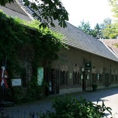
Borschemich, Former village district in Erkelenz, Germany

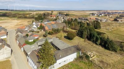
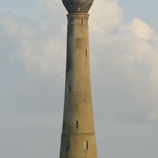
Borschemich was a district of Erkelenz in North Rhine-Westphalia that covered several square kilometers with deposits of sand, gravel, and coal below the surface. The area sat within a region rich in raw materials that would eventually become important for mining operations.

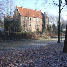
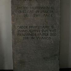
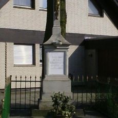
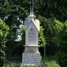
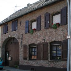
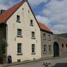
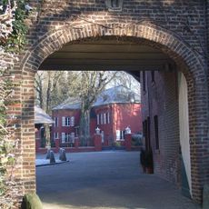
The settlement first appeared in records in 898 under the name Birsmiki and passed through the hands of various religious and secular rulers over the centuries. Mining operations in the 20th century led to its gradual decline and eventually forced the relocation of all residents.

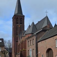
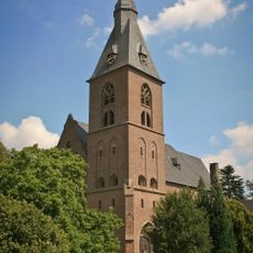
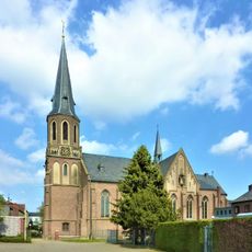
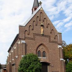
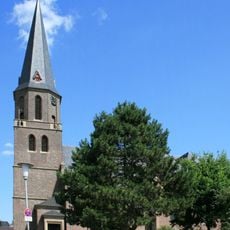
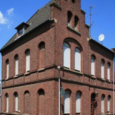
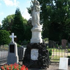
The Saint Martin Church, constructed between 1906 and 1907, featured Gothic Revival architecture with a three-story bell tower reaching 35 meters high.

The area today shows mainly the landscape shaped by mining activity, since all residents had completed relocation by 2017. Visiting requires an understanding of the region's open-pit mining history and its effects on the land.

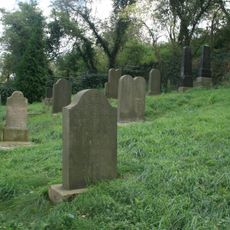
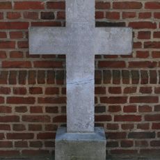
Archaeological digs in 2013 uncovered the remains of a Roman villa and several ancient burial sites in the area. These discoveries show that the land had been occupied and used as far back as Roman times.

The community of curious travelers

AroundUs brings together thousands of curated places, local tips, and hidden gems, enriched daily by 60,000 contributors worldwide.

Start exploring
Location
Elevation above the sea
77 m
GPS coordinates
51.08000,6.42944
Latest update
December 8, 2025 13:44
« Borschemich - Former village district in Erkelenz, Germany » is provided by Around Us (aroundus.com). Images and texts are derived from Wikimedia project under a Creative Commons license. You are allowed to copy, distribute, and modify copies of this page, under the conditions set by the license, as long as this note is clearly visible.

Discover hidden gems everywhere you go!

From secret cafés to breathtaking viewpoints, skip the crowded tourist spots and find places that match your style. Our app makes it easy with voice search, smart filtering, route optimization, and insider tips from travelers worldwide. Download now for the complete mobile experience.

Around Us App Screenshot

A unique approach to discovering new places

Le Figaro

All the places worth exploring

France Info

A tailor-made excursion in just a few clicks

20 Minutes

Around Us
Travel Guide & Maps
Download

Send to your phone

QR Code
1

Open the camera app on your mobile.

2

Point at the QR code with your camera. A notification will appear.

3

Tap the notification to open the link.