Feuchtwangen, Administrative district in Middle Franconia, Germany
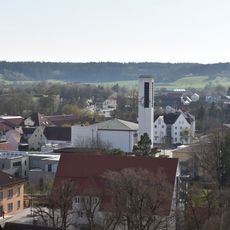
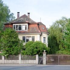
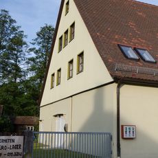
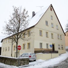
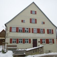
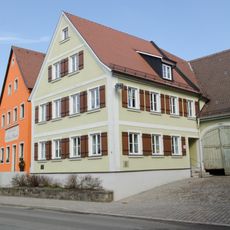
Feuchtwangen is an administrative district in Middle Franconia covering approximately 137 square kilometers across valleys and rolling terrain. The area includes several settlements and is shaped by natural water features like the Sulzach and Wörnitz streams.
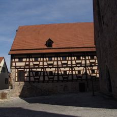
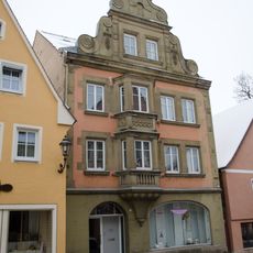
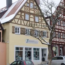
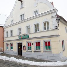
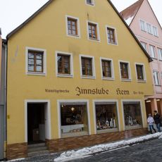
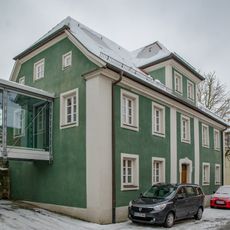
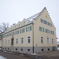
The district capital received the status of an imperial free city in 1241 and developed from two original parts: the urban center and the monastery territories. This division shaped the region's development and structure for centuries.
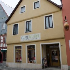
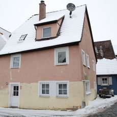
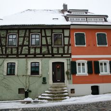
The town name refers to its location near water sources that shaped settlement patterns for centuries. Walking through the area, you can still observe how water features influenced the layout of buildings and streets.
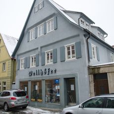
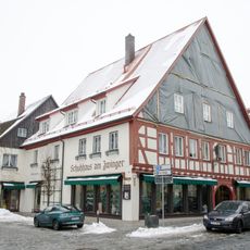
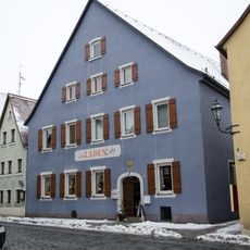
The area is connected by a network of roads linking various settlements and providing access to services. Visitors should plan to explore different parts of the district since each location has its own character and appeal.
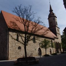
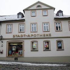
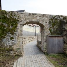
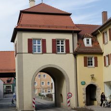
The district still preserves 14 medieval towers and three gates from the original 15th century fortification system, with several sections remaining intact. These remnants offer a rare look at the defensive architecture of an important early modern city.
The community of curious travelers
AroundUs brings together thousands of curated places, local tips, and hidden gems, enriched daily by 60,000 contributors worldwide.