Enable Location

We need your location to show you interesting places around you

Discover nearby places

Find interesting locations and hidden gems around you

Precise directions

Get accurate directions and distances to places

Your location is never shared with other users. It's only used when you tap the location button.

Dreilägerbachtalsperre

Log in to your account

Start exploring — it's free

Trusted by 62,171 travelers worldwide

Continue with Google
Continue with Apple
or

We will send you a code to connect

By continuing, you accept our Terms and Conditions and our Privacy Policy

Check your inbox

We've sent a pincode in your inbox. Please enter the code below.

Dreilägerbachtalsperre

Dreilägerbachtalsperre, reservoir

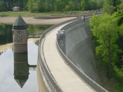
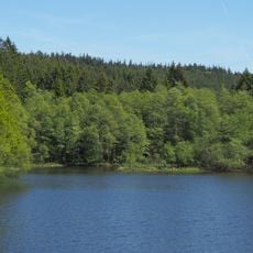
The Dreilägerbachtalsperre is a reservoir near Roetgen built to supply drinking water to the Aachen region and surrounding areas. The dam, constructed between 1909 and 1911, stands about 37 meters high and holds up to 3.8 million cubic meters of water using a weight dam design called the Intze principle.

The reservoir was built between 1909 and 1911 using innovative stamped concrete technology and the Intze weight dam design. Additional water channels were constructed to gather flow from distant streams, ensuring reliable supply to the growing water network for nearby communities.

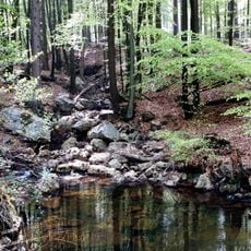
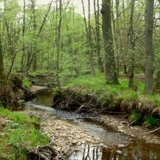
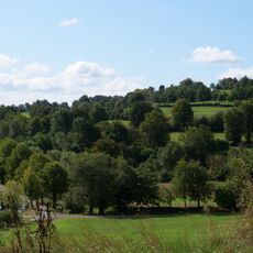
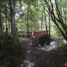
The reservoir is easily accessible by bus with regular connections from nearby towns. Paths around the water area are suitable for walking and hiking, with portions of the dam itself being walkable and offering views across the entire water surface.

The dam employed stamped concrete technology that was cutting-edge for its era, enabling faster and more reliable construction than traditional methods. Water channels extending several kilometers from distant streams reflect how engineers creatively solved water scarcity to feed the growing Aachen city network.

The community of curious travelers

AroundUs brings together thousands of curated places, local tips, and hidden gems, enriched daily by 60,000 contributors worldwide.

Start exploring
Location
Elevation above the sea
394 m
GPS coordinates
50.66060,6.21556
Latest update
February 7, 2026 11:01
« Dreilägerbachtalsperre - reservoir » is provided by Around Us (aroundus.com). Images and texts are derived from Wikimedia project under a Creative Commons license. You are allowed to copy, distribute, and modify copies of this page, under the conditions set by the license, as long as this note is clearly visible.

Discover hidden gems everywhere you go!

From secret cafés to breathtaking viewpoints, skip the crowded tourist spots and find places that match your style. Our app makes it easy with voice search, smart filtering, route optimization, and insider tips from travelers worldwide. Download now for the complete mobile experience.

Around Us App Screenshot

A unique approach to discovering new places

Le Figaro

All the places worth exploring

France Info

A tailor-made excursion in just a few clicks

20 Minutes

Around Us
Travel Guide & Maps
Download

Send to your phone

QR Code
1

Open the camera app on your mobile.

2

Point at the QR code with your camera. A notification will appear.

3

Tap the notification to open the link.