·

Enable Location

We need your location to show you interesting places around you

Discover nearby places

Find interesting locations and hidden gems around you

Precise directions

Get accurate directions and distances to places

Your location is never shared with other users. It's only used when you tap the location button.

Roetgen

Log in to your account

Start exploring — it's free

Trusted by 62,707 travelers worldwide

Continue with Google
Continue with Apple
or

We will send you a code to connect

By continuing, you accept our Terms and Conditions and our Privacy Policy

Check your inbox

We've sent a pincode in your inbox. Please enter the code below.

Roetgen, Mountain municipality near Belgian border, North Rhine-Westphalia, Germany.

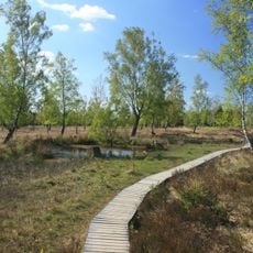
Roetgen is a municipality in hilly terrain near the Belgian border in North Rhine-Westphalia. The municipality encompasses several villages and sits at an elevation of about 410 meters.

In September 1944, Roetgen became the first German municipality liberated by American forces. This event marked a turning point for the region during World War II.

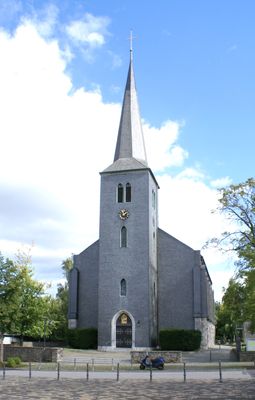
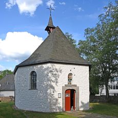
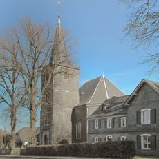
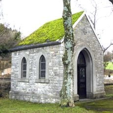
Saint Hubert's Church shapes the village center and shows architectural layers from different periods in its structure. Visitors can see how the community evolved while keeping its roots visible in the building's design.

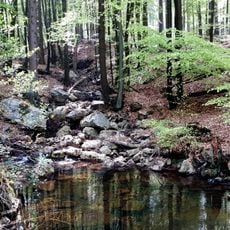
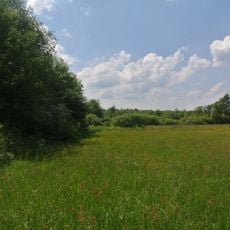
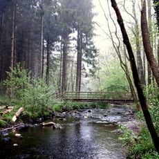
The municipality is easily reached via local roads and offers good connections to surrounding regions. The area works well for hiking and exploring on your own.

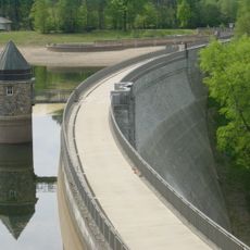
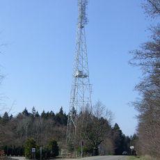
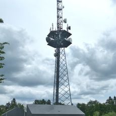
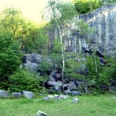
A water reservoir near the area supplies drinking water not just to German communities but also to the Dutch city of Kerkrade. This cross-border cooperation shows the practical connections that shape the region.

The community of curious travelers

AroundUs brings together thousands of curated places, local tips, and hidden gems, enriched daily by 60,000 contributors worldwide.

Start exploring
Elevation above the sea
410 m
Shares border with
Aachen, Simmerath, Stolberg
GPS coordinates
50.65000,6.20000
Latest update
December 20, 2025 15:21
« Roetgen - Mountain municipality near Belgian border, North Rhine-Westphalia, Germany » is provided by Around Us (aroundus.com). Images and texts are derived from Wikimedia project under a Creative Commons license. You are allowed to copy, distribute, and modify copies of this page, under the conditions set by the license, as long as this note is clearly visible.

Discover hidden gems everywhere you go!

From secret cafés to breathtaking viewpoints, skip the crowded tourist spots and find places that match your style. Our app makes it easy with voice search, smart filtering, route optimization, and insider tips from travelers worldwide. Download now for the complete mobile experience.

Around Us App Screenshot

A unique approach to discovering new places

Le Figaro

All the places worth exploring

France Info

A tailor-made excursion in just a few clicks

20 Minutes

Around Us
Travel Guide & Maps
Download

Send to your phone

QR Code
1

Open the camera app on your mobile.

2

Point at the QR code with your camera. A notification will appear.

3

Tap the notification to open the link.