
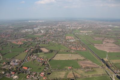
Haxtum, human settlement in Germany
Location: Aurich
Elevation above the sea: 4 m
GPS coordinates: 53.46030,7.45528
Latest update: March 10, 2025 05:17

Upstalsboom
2.1 km
Schloss Aurich
1.7 km
Lambertikirche Aurich
1.9 km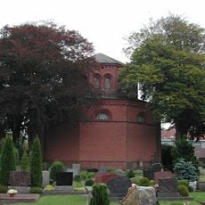
Cirksena mausoleum in Aurich
1.8 km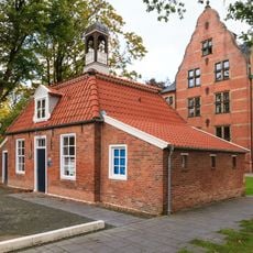
Pingelhus
1.9 km
Reformierte Kirche
2 km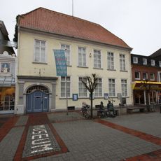
Historisches Museum Aurich
1.9 km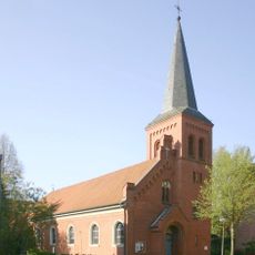
St.-Ludgerus-Kirche
2 km
Stiftsmühle
1.4 km
Landschaftshaus
1.9 km
Piqueurhof
1.8 km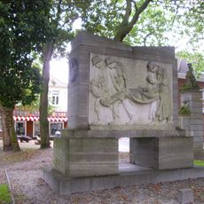
World War II Memorial Aurich
1.8 km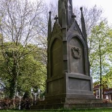
Denkmal für die Gefallenen des Deutsch-Französischen Krieges 1870/71 (Aurich)
1.8 km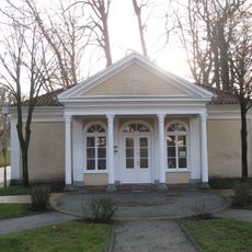
Teehäuschen
1.7 km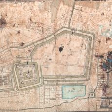
Julianenburg
1.3 km
Historische Torpfeiler
1.8 km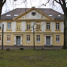
Staatshochbauamt
1.9 km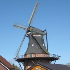
Haxtumer Mühle
102 m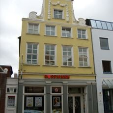
Evertssches Haus
2 km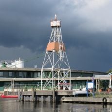
Aurich lighthouse
1.4 km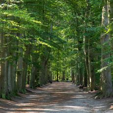
Upstalsboom und Umgebung
1.8 km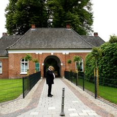
Friedhofswärterhaus
2 km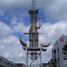
Sous tower
2.1 km
Nude young man
1.8 km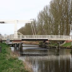
Haxtum bridge
553 m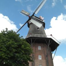
Mühlenmuseum Stiftsmühle Aurich von 1858
1.4 km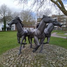
Pferde am Pferdemarkt
2.3 km
Bear group
1.9 kmReviews
Visited this place? Tap the stars to rate it and share your experience / photos with the community! Try now! You can cancel it anytime.
Discover hidden gems everywhere you go!
From secret cafés to breathtaking viewpoints, skip the crowded tourist spots and find places that match your style. Our app makes it easy with voice search, smart filtering, route optimization, and insider tips from travelers worldwide. Download now for the complete mobile experience.

A unique approach to discovering new places❞
— Le Figaro
All the places worth exploring❞
— France Info
A tailor-made excursion in just a few clicks❞
— 20 Minutes