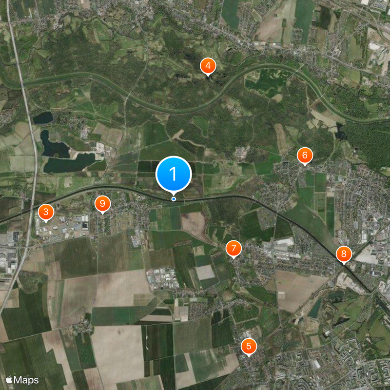
Elster-Saale Canal, Technical monument and canal near Leipzig, Germany
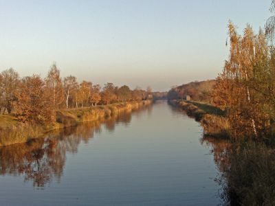
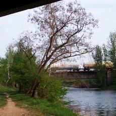
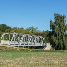
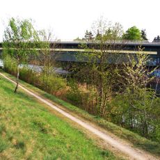
The Elster-Saale Canal is a waterway spanning approximately 11 kilometers through Saxony, featuring multiple bridges, locks, and control gates throughout its course. The system was engineered to handle vessels and includes a lock mechanism near Wusteneutzsch for water level management.
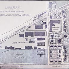
Construction began in 1933 as a major infrastructure project to connect Leipzig with Germany's inland waterway network via the Saale River. The undertaking was part of efforts to develop regional trade routes and enable water transport for commerce.
The waterway carries the official designation Saale-Leipzig Canal and is managed as a special federal waterway by the German waterways authority. It functions as a connection point in the regional transport network, linking the city with broader water systems across the country.
A pedestrian and cycling path runs along the northern bank, allowing visitors to explore the entire waterway on foot or by bicycle. The route offers continuous access to the water's edge and the various structures along the canal.
The pedestrian and cycling paths along the waterway were only completed in 1996, creating a relatively modern way to experience the historical navigation system. These pathways are much newer than the industrial infrastructure they accompany.
The community of curious travelers
AroundUs brings together thousands of curated places, local tips, and hidden gems, enriched daily by 60,000 contributors worldwide.