Gana, Medieval castle in Meissen District, Germany
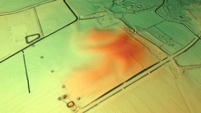
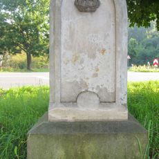
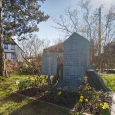
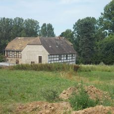
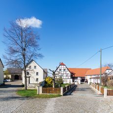
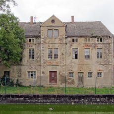
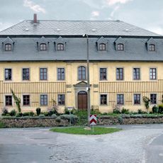
Gana is a castle and archaeological site in the Meissen District, set on raised ground along the Jahna River. Earthen ramparts and ditches still trace the outline of what was once a fortified stronghold.
King Henry I laid siege to this Slavic Glomacze fortress in 929 and took it after roughly twenty days. The conquest opened the way for German rule over the lands east of the Elbe.
The name Gana comes from a Slavic root and is still connected to the memory of the Glomacze, a West Slavic people who lived in this area. Visitors standing on the site can sense how two very different worlds once met along the Jahna River.
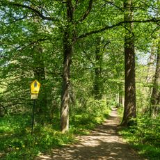
The remains are in the open countryside and can be reached on foot, so sturdy shoes are a good idea. Those who want to make sense of the earthworks should allow enough time to walk around the full perimeter.
After the conquest, the site became the center of the Marca Geronis, a frontier march that governed much of eastern Saxony. This early administrative structure helped shape the political map of the region for generations.
The community of curious travelers
AroundUs brings together thousands of curated places, local tips, and hidden gems, enriched daily by 60,000 contributors worldwide.