Gysenberg, Summit in Herne, Germany.
Description
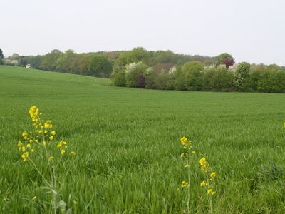
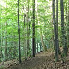
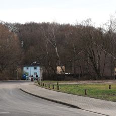
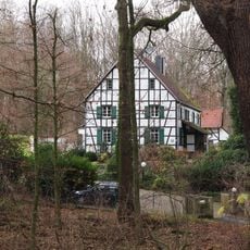
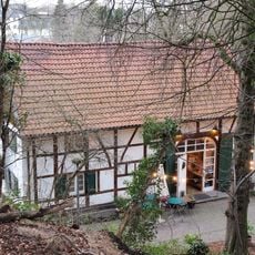
Gysenberg is a summit in Herne that shapes the local landscape through its elevated position within the Ruhr region. The area is crossed by various walking paths that can be accessed from the Forsthaus entrance point.
History
The area has long been a geographical reference point for the region and is also known locally as Castroper Hohen. Its role in the landscape has remained constant across generations.
Culture
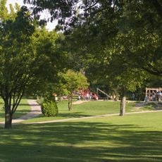
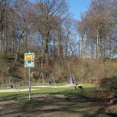
The summit serves as a gathering place where local residents spend their free time walking and enjoying outdoor space. Weekends bring families and groups to the paths and clearings throughout the area.
Practical
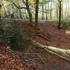
Access is available through marked trails that cross the entire area and offer various difficulty levels. Visitors should wear sturdy footwear and check the weather, as conditions can be changeable.
Did you know?
The area includes specialized mountain biking routes that attract riders of all skill levels. These varied trails make the location a popular destination for cyclists throughout the region.
AroundUs brings together thousands of curated places, local tips, and hidden gems, enriched daily by 60,000 contributors worldwide. Discover all places nearby (Germany).
Gysenbergpark
890 m
LAGO
948 m
St. Elisabeth
1 km
Evangelische Christuskirche Gerthe
1.2 km
St. Konrad
1.5 km
Langeloh/In der Hemke
1.3 km
Kaiser-Wilhelm-Turm
1.2 km
Sodinger Holz
1.4 km
LSG-Gysenberger Wald/Constantin X
532 m
LSG-Holthausen, Sodinger Volkspark, Langeloh
1 km
Volkspark Sodingen
1.2 km
Fachwerkhof Haus Kranenberg
498 m
Ehem. Bergarbeiterhaus, Courieresstraße 3
1.6 km
Ehem. Bergarbeiterhaus, Courieresstraße 11
1.5 km
Ehem. Bergarbeiterhaus, Courieresstraße 9
1.6 km
Wassermühle und Gutshaus Gysenberg
998 m
Wohnhaus, Händelstraße 6
1.5 km
Ehem. Bergarbeiterhaus, Courieresstraße 7
1.6 km
Ehem. Bergarbeiterhaus, Courieresstraße 6
1.6 km
Ehem. Bergarbeiterhaus, Courieresstraße 5
1.6 km
Ehem. Bergarbeiterhaus, Courieresstraße 4
1.6 km
Wohnhaus, Kirchstraße 6
1.5 km
Wohnhaus, Kirchstraße 7
1.5 km
Wohnhaus, Kirchstraße 8
1.5 km
Max-Wiethoff-Schule
1.4 km
Pfarrhaus der ev. Johanniskirche
1.4 km
Wohnhaus mit ehem. Gaststätte
1.4 km
Ehem. Verwaltungsgebäude der Zeche Mont-Cenis
1.5 kmDiscover hidden gems everywhere you go!
From secret cafés to breathtaking viewpoints, skip the crowded tourist spots and find places that match your style. Our app makes it easy with voice search, smart filtering, route optimization, and insider tips from travelers worldwide. Download now for the complete mobile experience.
A unique approach to discovering new places❞
— Le Figaro
All the places worth exploring❞
— France Info
A tailor-made excursion in just a few clicks❞
— 20 Minutes