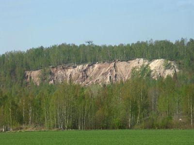
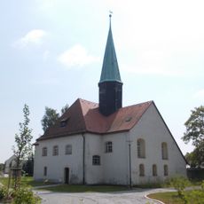
Halde Trages, Mining summit in Saxony, Germany.
Halde Trages is an artificially formed hill in the Leipzig region created from mining waste materials. An observation tower at its summit provides views over the surrounding landscape and nearby hiking routes.
The hill formed in the second half of the 20th century as a deposit from brown coal mining in Saxony. This accumulation permanently changed the topography of the Landkreis Leipzig region.
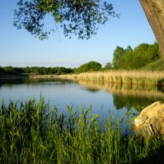
The site serves as a gathering point for hikers from the surrounding region who regularly explore this elevated location. Local people and visitors alike use the observation platform to take in views of the landscape.
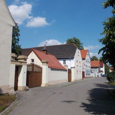
The site is accessible via multiple pathways connected to nearby parking areas. The routes are typically well-maintained and clearly marked, making it suitable for day visits.
On clear days, distant mountain ranges such as those in the Harz region become visible from the summit. These surprising distant views make the location worth visiting despite its artificial origins.
The community of curious travelers
AroundUs brings together thousands of curated places, local tips, and hidden gems, enriched daily by 60,000 contributors worldwide.