Enable Location

We need your location to show you interesting places around you

Discover nearby places

Find interesting locations and hidden gems around you

Precise directions

Get accurate directions and distances to places

Your location is never shared with other users. It's only used when you tap the location button.

Werderau

Log in to your account

Start exploring — it's free

Trusted by 63,724 travelers worldwide

Continue with Google
Continue with Apple
or

We will send you a code to connect

By continuing, you accept our Terms and Conditions and our Privacy Policy

Check your inbox

We've sent a pincode in your inbox. Please enter the code below.

Werderau
Discussion Reviews 1 Photos
2.3k Popularity

Werderau, Statistical district in Nuremberg, Germany.

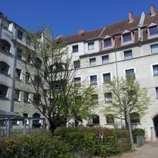
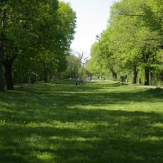
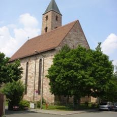
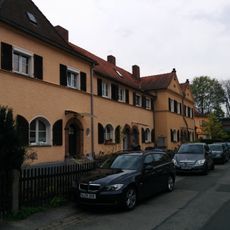
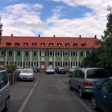
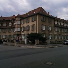
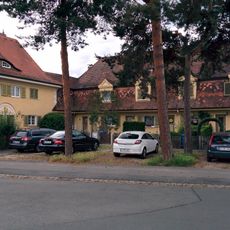
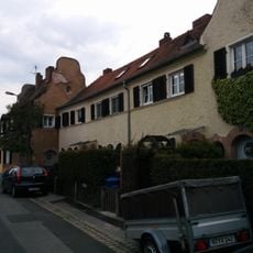
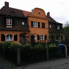
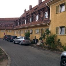
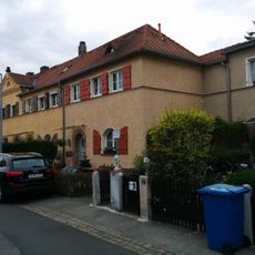
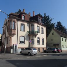
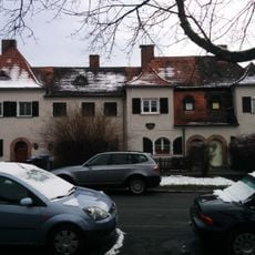
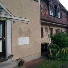
Werderau is a residential district in Nuremberg located between the Main-Danube Canal and the city center, characterized by numerous single-family houses, abundant green spaces, and well-maintained gardens that create a village-like atmosphere within the urban environment.

The district was developed in the early 20th century between 1910 and 1930 according to plans by architect Ludwig Ruf, who also worked on Nuremberg's Congress Hall, with the intention of creating a green residential area for workers from the nearby MAN machinery factory.

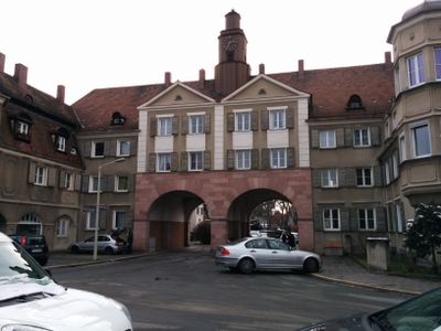
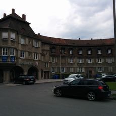
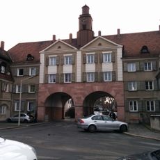
The central Volckamerplatz serves as a community focal point designed in the 'worker baroque' architectural style, featuring daily necessity shops like bakeries, butchers, and pharmacies arranged around a square that deliberately resembles a traditional village center to foster neighborhood connections.

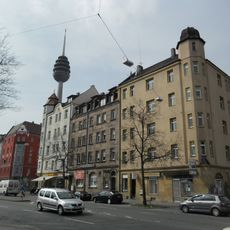
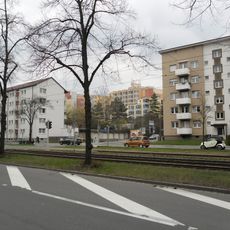
The district offers excellent connectivity to Nuremberg's city center through nearby tram and S-Bahn stations, while local shopping facilities at Dianaplatz and various residential options ranging from 180-square-meter rental apartments to single-family homes cater to diverse housing needs.

Werderau represents a rare example of early 20th-century worker housing that has evolved into one of Nuremberg's most desirable residential areas, successfully combining the tranquility of suburban living with urban accessibility and maintaining its original architectural character for over a century.

The community of curious travelers

AroundUs brings together thousands of curated places, local tips, and hidden gems, enriched daily by 60,000 contributors worldwide.

Start exploring
Location
Elevation above the sea
315 m
Shares border with
Dianastraße
GPS coordinates
49.42230,11.05950
Latest update
July 25, 2025 19:17
Reviews
Share your experience

No review yet

Discussions
Start a discussion...

No discussion yet

« Werderau - Statistical district in Nuremberg, Germany » is provided by Around Us (aroundus.com). Images and texts are derived from Wikimedia project under a Creative Commons license. You are allowed to copy, distribute, and modify copies of this page, under the conditions set by the license, as long as this note is clearly visible.

Discover hidden gems everywhere you go!

From secret cafés to breathtaking viewpoints, skip the crowded tourist spots and find places that match your style. Our app makes it easy with voice search, smart filtering, route optimization, and insider tips from travelers worldwide. Download now for the complete mobile experience.

Around Us App Screenshot

A unique approach to discovering new places

Le Figaro

All the places worth exploring

France Info

A tailor-made excursion in just a few clicks

20 Minutes

Around Us
Travel Guide & Maps
Download

Send to your phone

QR Code
1

Open the camera app on your mobile.

2

Point at the QR code with your camera. A notification will appear.

3

Tap the notification to open the link.