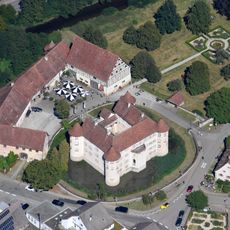
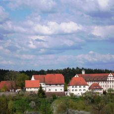
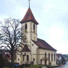
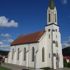
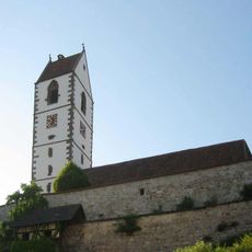
Castra of Sulz, Ancient Roman fort in Sulz am Neckar, Germany
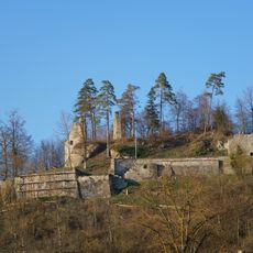
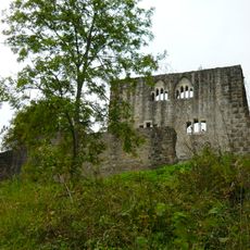
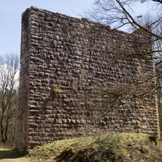
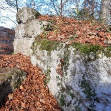
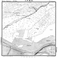
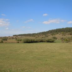
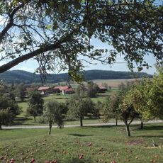
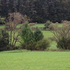
The Castra of Sulz was a Roman military fort positioned on a strategic hill south of the modern town center, overlooking the Neckar valley. Excavations reveal its typical rectangular layout with structures for soldier barracks, storage facilities, and administrative buildings.
The fort was established around 74 CE as part of the Roman frontier defense system along the Neckar-Odenwald-Limes. It served as a defensive position against Germanic tribes and was gradually abandoned when Rome withdrew from the region.
The fort displays typical Roman construction methods through remaining foundations that reveal how soldiers lived and organized their daily routines. Visitors can observe these physical traces to understand the rhythm of military life at this outpost.
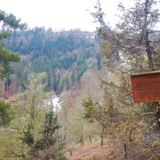
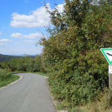
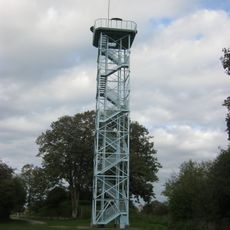
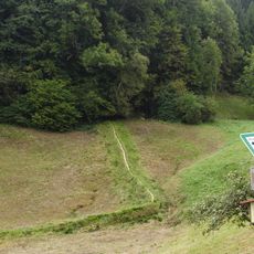
The site is freely accessible to visitors and features information panels explaining the fort's structure and layout. The hilltop location requires some walking ability, though it connects to nearby hiking routes that link other Roman sites in the region.
The fort was located directly above ancient salt springs, which later became the foundation for medieval salt production in the town. This connection reveals how Romans chose strategic locations that offered valuable natural resources.
The community of curious travelers
AroundUs brings together thousands of curated places, local tips, and hidden gems, enriched daily by 60,000 contributors worldwide.