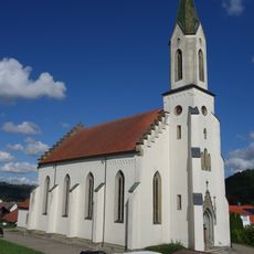
Sulz am Neckar, municipality in Germany
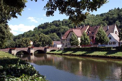
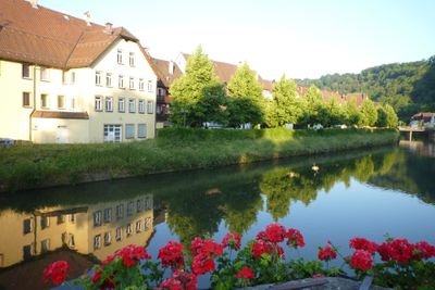
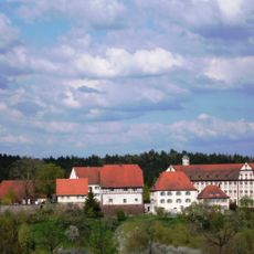
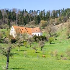
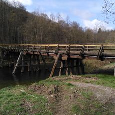
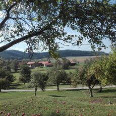
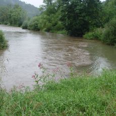
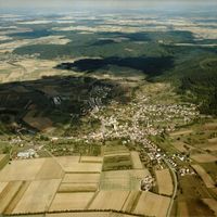
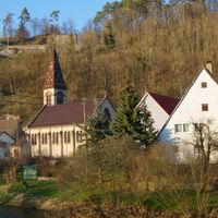
Sulz am Neckar is a town positioned along the Neckar River in Baden-Württemberg. The settlement spans both sides of the river, with a mix of residential buildings and older structures that define its appearance.
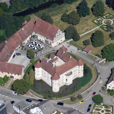
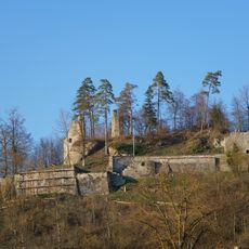
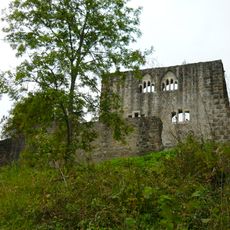
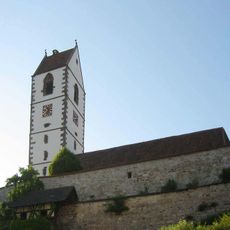
The settlement developed along an important river crossing and became a notable community in the region. Its historical foundations continue to shape the character of this riverside area.
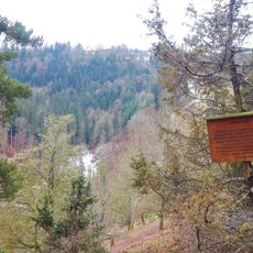
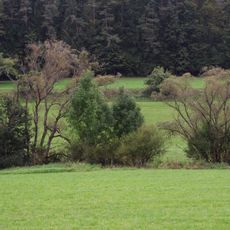
The town's name reflects its position on the Neckar, a geographic feature that still shapes local identity. The close relationship with the river influences how residents and visitors experience daily life in the settlement.
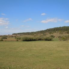
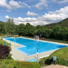
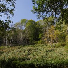
The town is reachable by car and public transport and offers basic services for regional visitors. The river location allows for walks along the banks and easy day trips to neighboring communities.
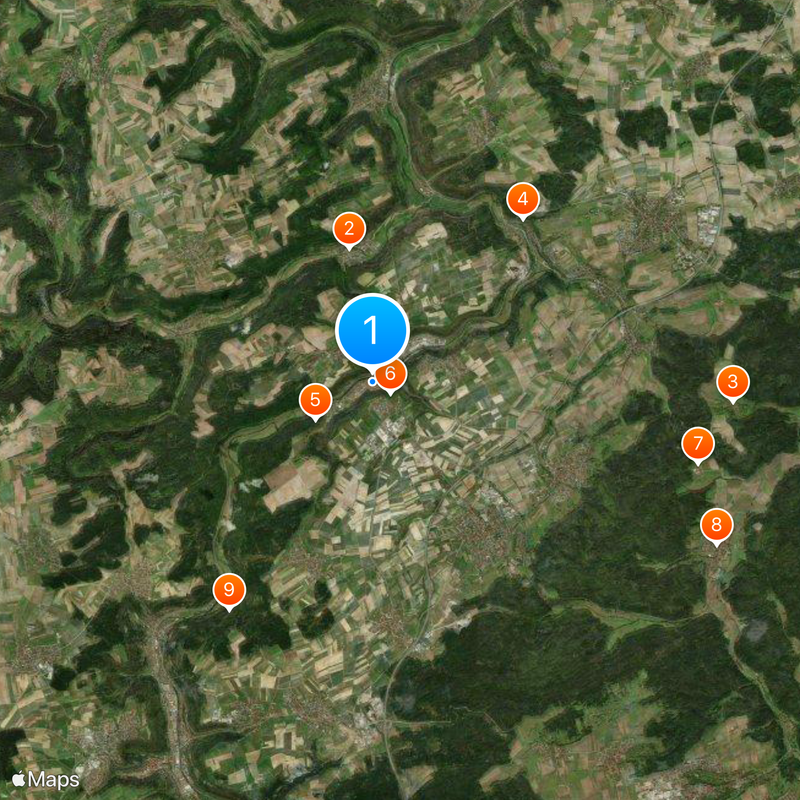
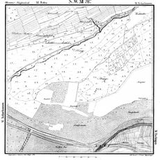
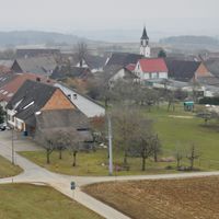
The municipality brings together several smaller districts that were historically settled around different river points. This fragmented structure shapes the settlement pattern visible today.
The community of curious travelers
AroundUs brings together thousands of curated places, local tips, and hidden gems, enriched daily by 60,000 contributors worldwide.