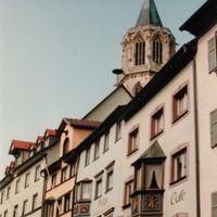
Rottweil, Administrative district in Baden-Württemberg, Germany.
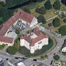
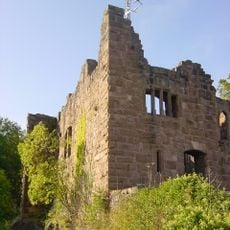
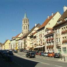
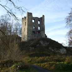
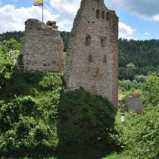
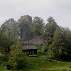
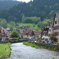
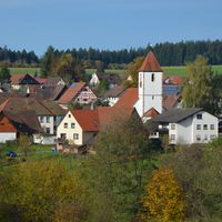
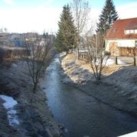
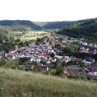
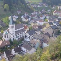
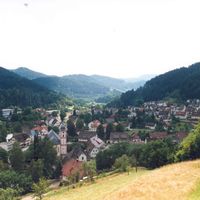
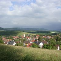
Rottweil is a rural district in Baden-Württemberg that spreads across the region between the Black Forest and Neckar River. It contains numerous municipalities and towns with varying landscapes and settlement patterns.
The district took its current form during the 1973 administrative reform in Baden-Württemberg, when several neighboring communities merged into the region. This consolidation fundamentally shaped the district's structure and governance.
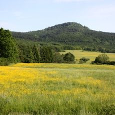
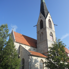
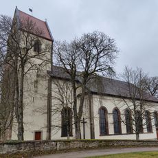
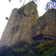
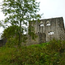
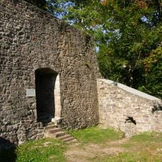
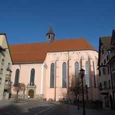
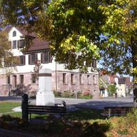
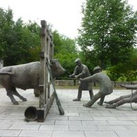
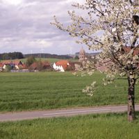
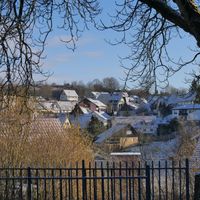
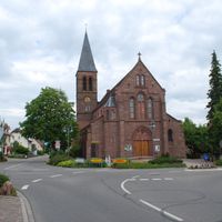
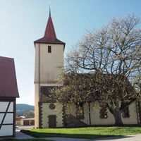
The towns and villages here each celebrate their own festivals and customs throughout the year, giving each place its distinct local character. These traditions show how different communities maintain their individual identities.
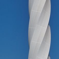
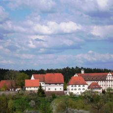
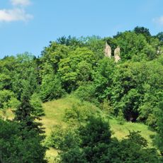
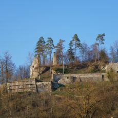
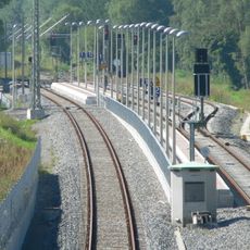
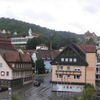
The terrain here varies significantly, with some areas flat while others are more hilly, which affects how you move through the region. Roads and public connections link the different towns, making it easier to explore several places in a day.
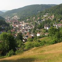
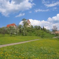
The district spans different elevations that create distinct climate zones and vegetation types across a relatively compact area. This variety means you can experience several different landscapes simply by moving through the region.
The community of curious travelers
AroundUs brings together thousands of curated places, local tips, and hidden gems, enriched daily by 60,000 contributors worldwide.