Rottweil

Log in to your account

AroundUs is a community-driven map of interesting places, built by curious explorers like you. It grows with every review, story, and photo you share.
Connect to save your favorite spots, contribute locations, and create personalized routes.
Continue with Google
Continue with Apple
Continue with X
Continue with Facebook
Continue with email
By continuing, you accept our Terms and Conditions and our Privacy Policy
Create an account
Add to collection
Map
Suggest a change
Share

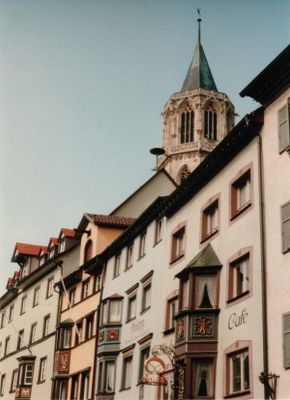
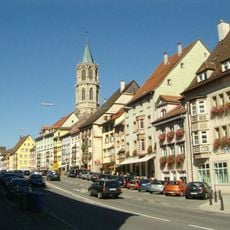
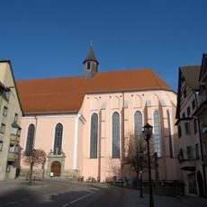
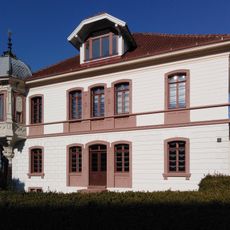
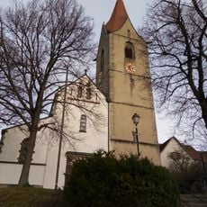
Rottweil, Medieval town center in Baden-Württemberg, Germany.

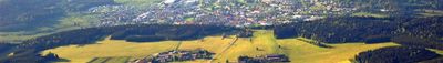
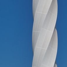
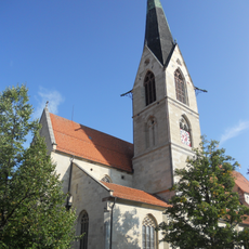
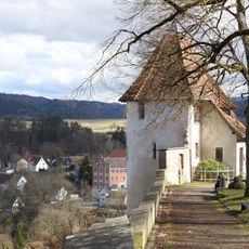
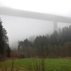
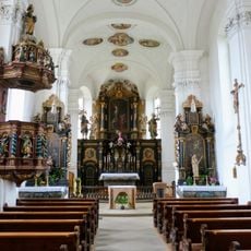
Rottweil is a town in Baden-Württemberg where narrow lanes lined with timber-framed houses wind through the center and church spires rise above the rooftops. The modern ThyssenKrupp test tower stands 232 meters (761 feet) tall at the edge of town, creating a contrast with the historic stone and wood buildings.

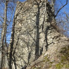
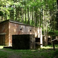
Roman soldiers founded a settlement here in 73 AD and built roads and baths. In 1268 the town gained the status of a Free Imperial City and governed itself for nearly six centuries, until Napoleon ended that order.

Romans called their settlement Arae Flaviae, a name that evolved through centuries into Rottweil. Today visitors walk streets where local bakeries sell traditional breads and neighbors greet each other in the Swabian dialect still spoken in this corner of Baden-Württemberg.

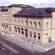
The train station sits in the valley below the old town and trains run regularly to Stuttgart and Zurich. Visitors wanting to see the test tower will find it about two kilometers outside the medieval center on the southern edge of town.

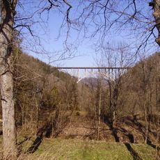
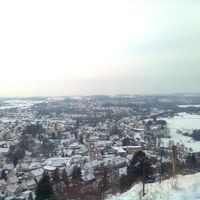
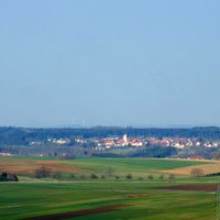
The observation deck on the test tower sits at 232 meters (761 feet) and is the highest public viewing point in all of Germany. On clear days the view stretches from the Black Forest across the Swabian Alb to the Swiss Alps.

Location: Rottweil VVG

Inception: 1140

Elevation above the sea: 599 m

Shares border with: Zimmern ob Rottweil, Villingendorf, Dietingen, Deißlingen, Schömberg, Zimmern unter der Burg, Frittlingen, Aldingen, Dunningen, Bösingen, Wellendingen

Address: 78 Rottweil, Germany

Website: https://rottweil.de

GPS coordinates: 48.16806,8.62472

Latest update: December 15, 2025 01:04

Photos
Reviews

Visited this place? Tap the stars to rate it and share your experience / photos with the community! Try now! You can cancel it anytime.

Administrative divisions
« Rottweil - Medieval town center in Baden-Württemberg, Germany » is provided by Around Us (aroundus.com). Images and texts are derived from Wikimedia project under a Creative Commons license. You are allowed to copy, distribute, and modify copies of this page, under the conditions set by the license, as long as this note is clearly visible.

Discover hidden gems everywhere you go!

From secret cafés to breathtaking viewpoints, skip the crowded tourist spots and find places that match your style. Our app makes it easy with voice search, smart filtering, route optimization, and insider tips from travelers worldwide. Download now for the complete mobile experience.

Around Us App Screenshot

A unique approach to discovering new places

Le Figaro

All the places worth exploring

France Info

A tailor-made excursion in just a few clicks

20 Minutes