
Kreuzkirche, church building in Heilbronn, Stuttgart Government Region, Bade-Württemberg, Germany
Location: Heilbronn
Architectural style: modern architecture
GPS coordinates: 49.12950,9.20486
Latest update: March 7, 2025 05:53

Badstraße 64 (Heilbronn)
858 m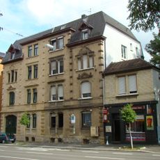
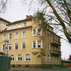
Sontheimer Straße 7 und 9
916 m
Bürgerhaus Böckingen
937 m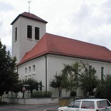
Martin-Luther-Kirche
833 m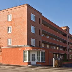
Olgastraße 84
825 m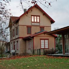
Bahnhof Heilbronn-Sontheim
982 m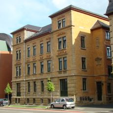
Sontheimer Straße 3 und 5
946 m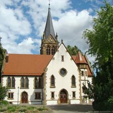
Pankratiuskirche
886 m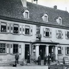
Altes Rathaus
820 m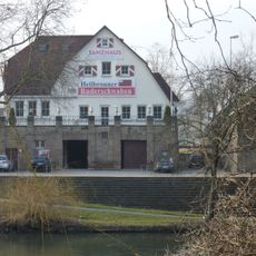
Schwabenhaus
978 m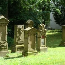
Alter Friedhof
894 m
Seestraße 27
928 m
Charlottenstraße 2
985 m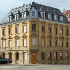
Wilhelmstraße 68
1 km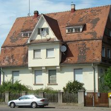
Liebigstraße 8
703 m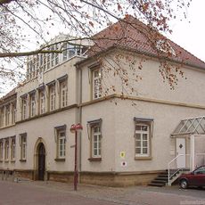
Schuchmannstraße 2 (Böckingen)
1 km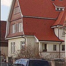
Liebigstraße 10
686 m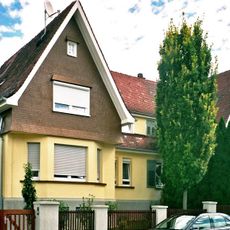
Liebigstraße 16 und 18
620 m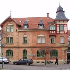
Gasthaus zum Lamm, Böckingen
828 m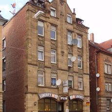
Wilhelmstraße 66 (Heilbronn)
1 km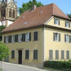
Evangelisches Pfarrhaus
896 m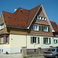
Liebigstraße 22 und 24
583 m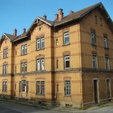
Bahnbetriebswagenwerk 1
958 m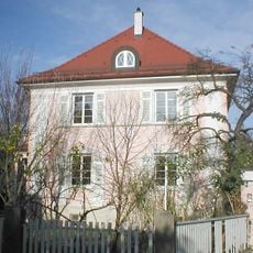
Louis-Hentges-Straße 5
941 m
Liebigstraße 12 und 14
669 m
Liebigstraße 26
562 m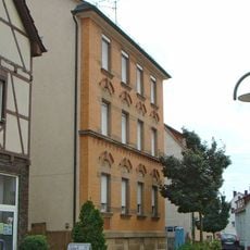
Querstraße 9
961 m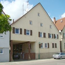
Rathausstraße 8
813 mReviews
Visited this place? Tap the stars to rate it and share your experience / photos with the community! Try now! You can cancel it anytime.
Discover hidden gems everywhere you go!
From secret cafés to breathtaking viewpoints, skip the crowded tourist spots and find places that match your style. Our app makes it easy with voice search, smart filtering, route optimization, and insider tips from travelers worldwide. Download now for the complete mobile experience.

A unique approach to discovering new places❞
— Le Figaro
All the places worth exploring❞
— France Info
A tailor-made excursion in just a few clicks❞
— 20 Minutes